Small airport · United States
Martha's Vineyard AirportKMVY
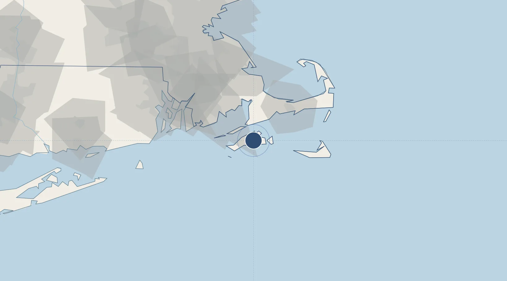
41.3931°, -70.6143°
5,504 ft
Longest runway
2
Runways
67 ft
Elevation
Runway & Layout

Radio Frequencies
ATIS
126.25 MHz
TWR
121.4 MHz
VINEYARD TWR
GND
121.8 MHz
CLD
134.65 MHz
CLNC DEL
CTAF
121.4 MHz
A/D
133.75 MHz
CAPE APP/DEP
RDO
114.5 MHz
BRIDGEPORT RDO
UNIC
122.95 MHz
UNICOM
Runways · 2
| Runway | Dimensions | Surface | True heading | Lit |
|---|---|---|---|---|
| 06/24 | 5,504 × 100ft | Asphalt | 041° | ✓ |
| 15/33 | 3,327 × 75ft | Asphalt | 131° | ✓ |
Airport Specifications
IATA code
MVY
ICAO code
KMVY
Airport class
Small airport
Scheduled service
Yes
Runway surface
Asphalt
Served city
Martha's Vineyard
Location
Nearby Logistics Neighbours
Airports
- 1Cape Cod Gateway Airport41 km
- 2New Bedford Regional Airport43 km
- 3Nantucket Memorial Airport49 km
- 4Newport State Airport58 km
- 5Quonset State Airport70 km
Cities
- 1Tisbury6 km
- 2Oak Bluffs8 km
- 3Edgartown8 km
- 4Menemsha14 km
- 5East Falmouth20 km
Ports
- 1Vineyard Haven6 km
- 2Edgartown10 km
- 3Woods Hole14 km
- 4Falmouth17 km
- 5New Bedford37 km
Trade Zones
- 1FTZ No. 028 New Bedford44 km
- 2FTZ No. 105 Providence and North Kingstown84 km
- 3FTZ No. 027 Boston110 km
- 4FTZ No. 208 New London124 km
- 5FTZ No. 071 Windsor Locks178 km
DatabookThe Record of Consolidated Knowledge
United States beyond logistics?