Channel & Berth Profile
Pilotage, Tugs & Services
Pilotage compulsoryNO
Tug assistanceNO
Salvage tugsNO
Potable waterYES
Diesel bunkersYES
Facilities & Capabilities
Container—
Ro-Ro—
Liquid bulk—
Dry bulk—
Oil terminal—
Break bulk—
Dry dock—
RepairsNO
Bunkering—
Rail linkYES
Dangerous cargo—
ISPS security—
Harbour Specifications
Harbour size
Very Small
Harbour type
Coastal (Natural)
Shelter
Excellent
Water body
North Atlantic Ocean
Tidal range
0.9 m
Overhead limit
No
Pilotage
No
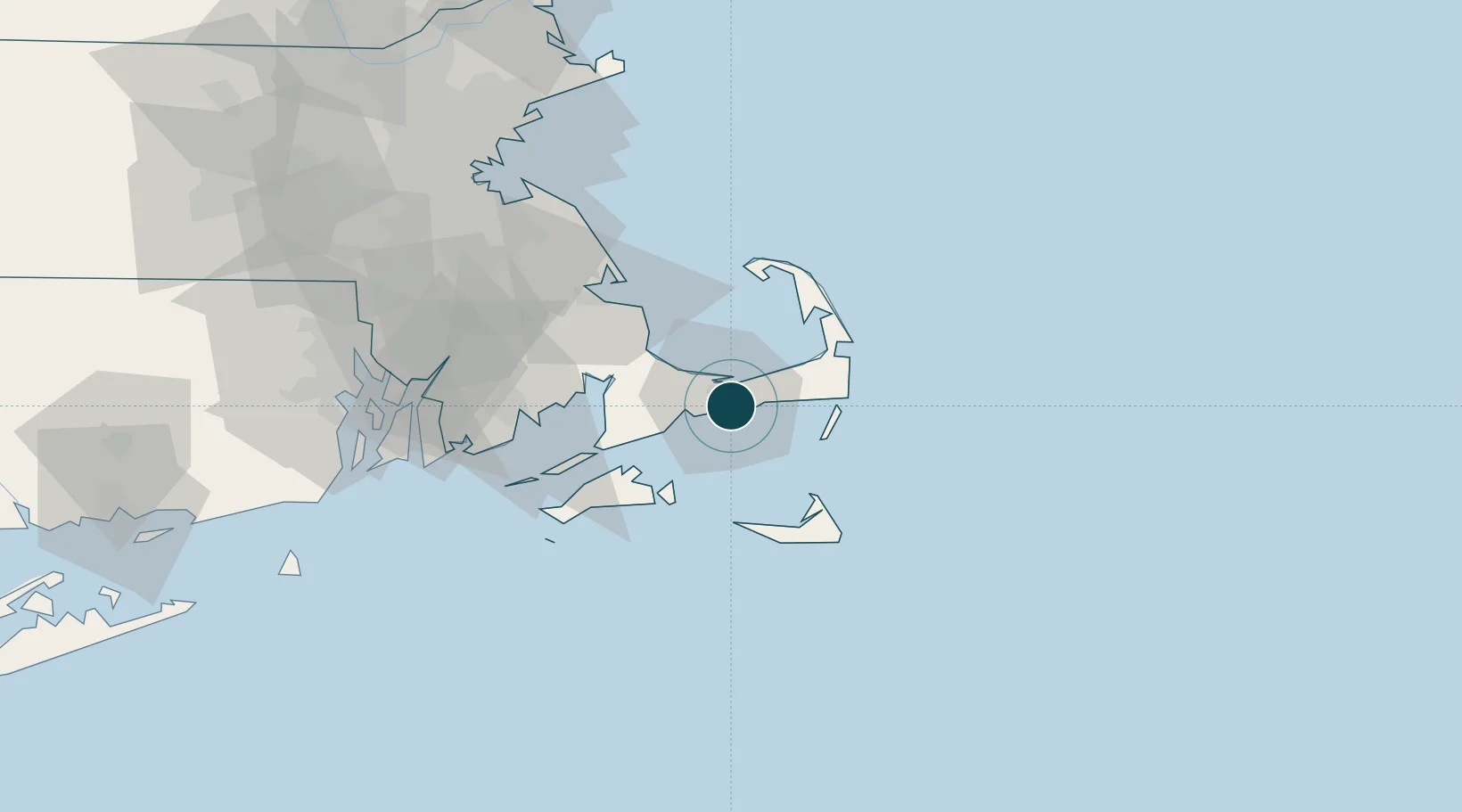
Location
Nearby Logistics Neighbours
Ports
- 1Falmouth30 km
- 2Vineyard Haven35 km
- 3Edgartown35 km
- 4Woods Hole35 km
- 5Nantucket44 km
Cities
- 1West Yarmouth3 km
- 2Centerville7 km
- 3Yarmouth7 km
- 4South Yarmouth9 km
- 5Osterville9 km
Airports
Trade Zones
- 1FTZ No. 028 New Bedford59 km
- 2FTZ No. 105 Providence and North Kingstown99 km
- 3FTZ No. 027 Boston101 km
- 4FTZ No. 208 New London155 km
- 5FTZ No. 081 Portsmouth163 km
DatabookThe Record of Consolidated Knowledge
United States beyond logistics?