Foreign Trade Zone · United States

FTZ No. 028 New Bedford Active
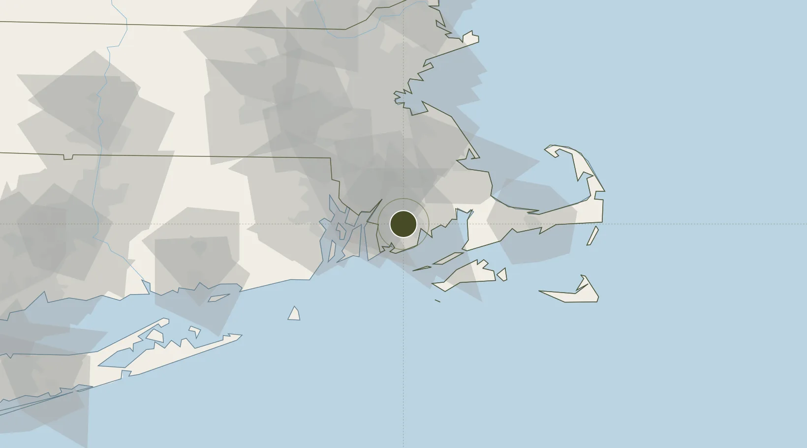
41.6638°, -70.9980°
7.6 km
Nearest port
3.7 km
Nearest airport

Gateway access

Nearest neighbours — logibook spatial index (haversine) over the source coordinates

Zone profile

Zone type
Foreign Trade Zone
Open Zone Map
Region
Massachusetts
Open Zone Map
Status
Active
Open Zone Map
Management
Public
Open Zone Map
Operator
City of New Bedford
Open Zone Map
Legal framework
Foreign-Trade Zones Act
Open Zone Map

Location

Location of ozm-4762
Natural Earth 10m (public domain) · Massachusetts · ozm-4762 · 41.66, -71.00GoogleOSMYandex

Nearby Logistics Neighbours

Ports
  1. 1New Bedford8 km
  2. 2Fall River15 km
  3. 3Tiverton19 km
  4. 4Bristol22 km
  5. 5Woods Hole32 km
Nearest neighbours — logibook spatial index (haversine) over the source coordinates
Airports
  1. 1New Bedford Regional Airport4 km
  2. 2Newport State Airport28 km
  3. 3Quonset State Airport35 km
  4. 4Rhode Island T. F. Green International Airport36 km
  5. 5Martha's Vineyard Airport44 km
Nearest neighbours — logibook spatial index (haversine) over the source coordinates
Cities
  1. 1North Dartmouth4 km
  2. 2New Bedford6 km
  3. 3South Dartmouth10 km
  4. 4East Freetown12 km
  5. 5Fall River15 km
Nearest neighbours — logibook spatial index (haversine) over the source coordinates
Trade Zones
  1. 1FTZ No. 105 Providence and North Kingstown42 km
  2. 2FTZ No. 027 Boston73 km
  3. 3FTZ No. 208 New London98 km
  4. 4FTZ No. 071 Windsor Locks139 km
  5. 5FTZ No. 201 Holyoke155 km
Nearest neighbours — logibook spatial index (haversine) over the source coordinates
DatabookThe Record of Consolidated Knowledge
United States beyond logistics?
Browse databook

All Sources

Trade ZonesOpen Zone Map
CC BY
Portsthe NGA World Port Index
Public domain (US gov)
AirportsOurAirports
Public domain
LocationsUN/LOCODE
UN/LOCODE — free
← United States trade zones