UN/LOCODE hub · United States
USQCC
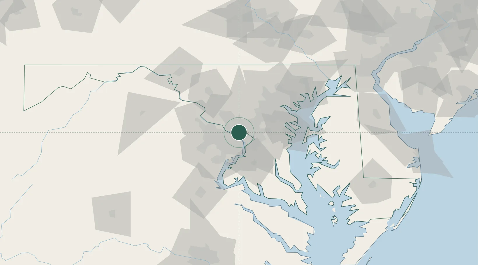
Chevy Chase
38.9667°, -77.0833°
9,545
Population
2
Transport functions
Transport Functions
Port
Road
Hub Profile
Place type
Populated place
Region
District of Columbia
Population
9,545
Time zone
America/New_York
Elevation
101 m
Location
Nearby Logistics Neighbours
Cities
- 1Langley7 km
- 2Takoma Park7 km
- 3Willston15 km
- 4Great Falls17 km
- 5Derwood18 km
Ports
- 1Washington D.C.12 km
- 2Alexandria19 km
- 3Annapolis52 km
- 4Baltimore55 km
- 5Fredericksburg81 km
Airports
Trade Zones
DatabookThe Record of Consolidated Knowledge
United States beyond logistics?