UN/LOCODE hub · United States
USZIV
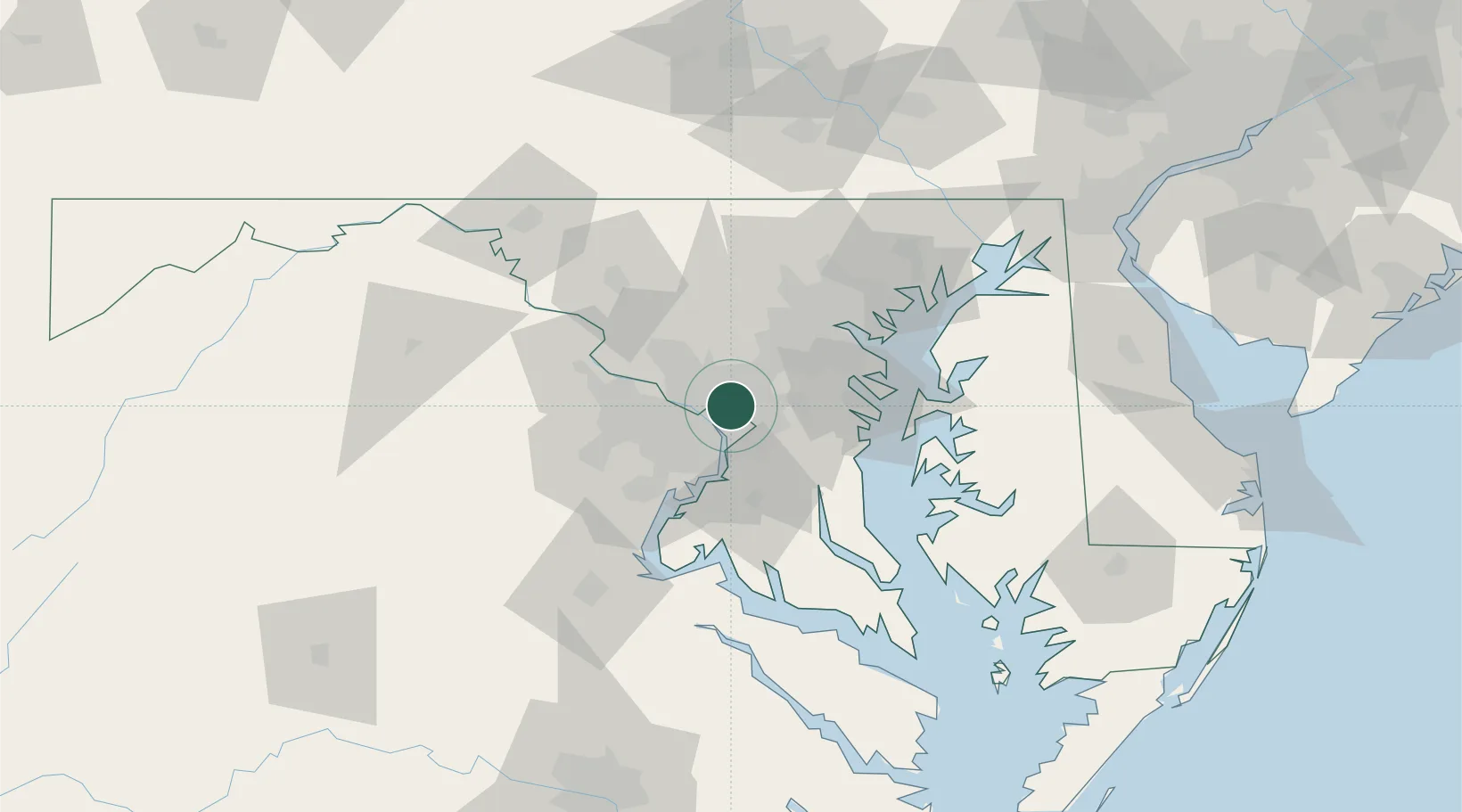
Takoma Park
38.9667°, -77.0000°
17,713
Population
1
Transport functions
Transport Functions
Multimodal
Hub Profile
Place type
Populated place
Region
Maryland
Population
17,713
Time zone
America/New_York
Elevation
88 m
Location
Nearby Logistics Neighbours
Cities
- 1Chevy Chase7 km
- 2Langley14 km
- 3Largo16 km
- 4District Heights16 km
- 5Marlow Heights17 km
Ports
- 1Washington D.C.12 km
- 2Alexandria19 km
- 3Annapolis45 km
- 4Baltimore49 km
- 5Fredericksburg84 km
Airports
Trade Zones
DatabookThe Record of Consolidated Knowledge
United States beyond logistics?