Transport Functions
Port
Hub Profile
Place type
Populated place
Region
Maine
Time zone
America/New_York
Elevation
15 m
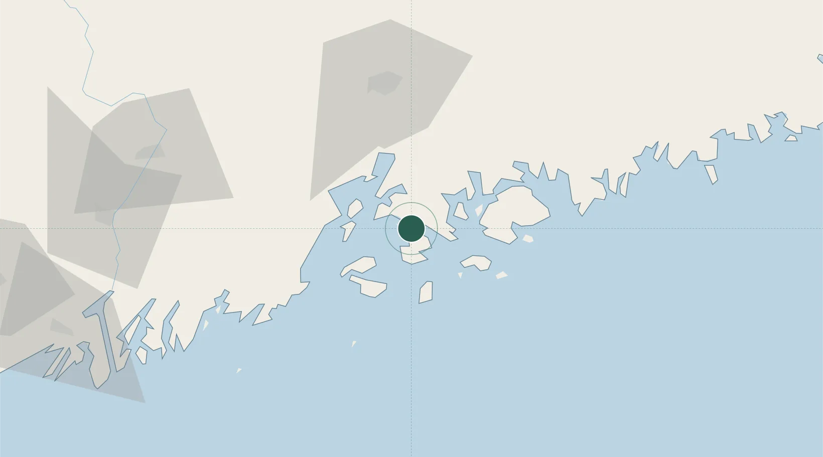
Location
Nearby Logistics Neighbours
Ports
- 1Brooklin8 km
- 2Castine12 km
- 3Stonington15 km
- 4North Haven22 km
- 5Swans Island25 km
Airports
- 1Islesboro Airport18 km
- 2Witherspoons Airport21 km
- 3Vinalhaven Airport26 km
- 4Hancock County-Bar Harbor Airport32 km
- 5Knox County Regional Airport41 km
Trade Zones
- 1FTZ No. 058 Bangor59 km
- 2FTZ No. 186 Waterville86 km
- 3FTZ No. 263 Auburn123 km
- 4FTZ No. 081 Portsmouth221 km
- 5Saint John234 km
DatabookThe Record of Consolidated Knowledge
United States beyond logistics?