Channel & Berth Profile
Pilotage, Tugs & Services
Pilotage availableYES
Facilities & Capabilities
Container—
Ro-Ro—
Liquid bulk—
Dry bulk—
Oil terminal—
Break bulk—
Dry dock—
Repairs—
Bunkering—
Rail link—
Dangerous cargo—
ISPS security—
Harbour Specifications
Harbour size
Very Small
Harbour type
Open Roadstead
Shelter
Poor
Water body
Bering Sea; North Pacific Ocean
Tidal range
0.3 m
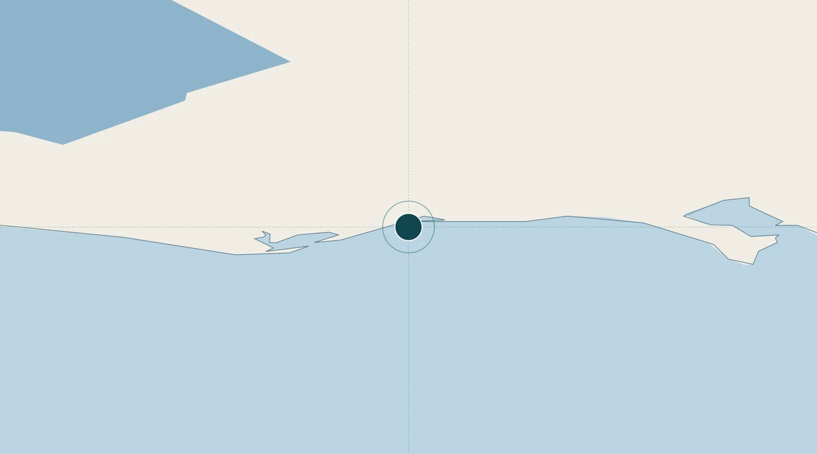
Location
Nearby Logistics Neighbours
Ports
- 1Nome49 km
- 2St. Michael165 km
- 3Kotlik174 km
- 4Deering187 km
- 5Unalakleet190 km
Cities
- 1Sledge Island86 km
- 2Uelen309 km
- 3Lavrentiya330 km
- 4Provideniya, Bukhta427 km
- 5Vankarem630 km
Airports
- 1White Mountain Airport50 km
- 2Nome Airport50 km
- 3Golovin Airport67 km
- 4Elim Airport102 km
- 5Teller Airport119 km
Trade Zones
- 1FTZ No. 195 Fairbanks791 km
- 2FTZ No. 160 Anchorage820 km
- 3FTZ No. 232 Kodiak974 km
- 4FTZ No. 108 Valdez987 km
- 5PrInce George Logistics Park2584 km
DatabookThe Record of Consolidated Knowledge
United States beyond logistics?