Channel & Berth Profile
Pilotage, Tugs & Services
Pilotage availableYES
Facilities & Capabilities
Container—
Ro-Ro—
Liquid bulk—
Dry bulk—
Oil terminal—
Break bulk—
Dry dock—
Repairs—
Bunkering—
Rail link—
Dangerous cargo—
ISPS security—
Harbour Specifications
Harbour size
Very Small
Harbour type
Open Roadstead
Shelter
Poor
Water body
Bering Sea; North Pacific Ocean
Tidal range
0.9 m
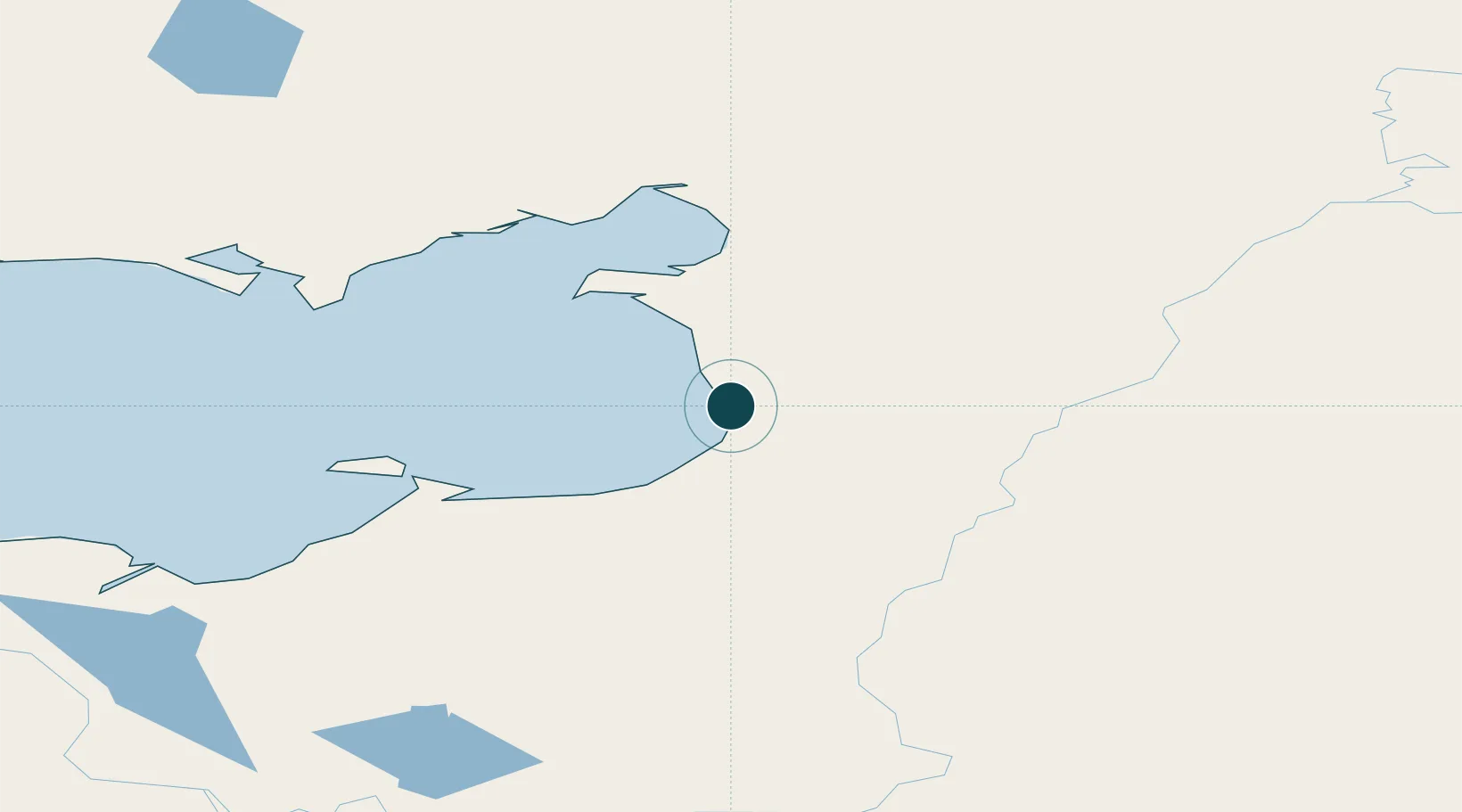
Location
Nearby Logistics Neighbours
Ports
- 1St. Michael76 km
- 2Kotlik167 km
- 3Solomon190 km
- 4Nome235 km
- 5Deering261 km
Cities
- 1Sledge Island271 km
- 2Uelen494 km
- 3Lavrentiya520 km
- 4Susitna585 km
- 5Provideniya, Bukhta609 km
Airports
- 1Unalakleet Airport1 km
- 2Shaktoolik Airport58 km
- 3St Michael Airport79 km
- 4Stebbins Airport84 km
- 5Elim Airport109 km
Trade Zones
- 1FTZ No. 160 Anchorage630 km
- 2FTZ No. 195 Fairbanks637 km
- 3FTZ No. 108 Valdez799 km
- 4FTZ No. 232 Kodiak810 km
- 5PrInce George Logistics Park2401 km
DatabookThe Record of Consolidated Knowledge
United States beyond logistics?