Medium airport · United States
Nome AirportPAOM
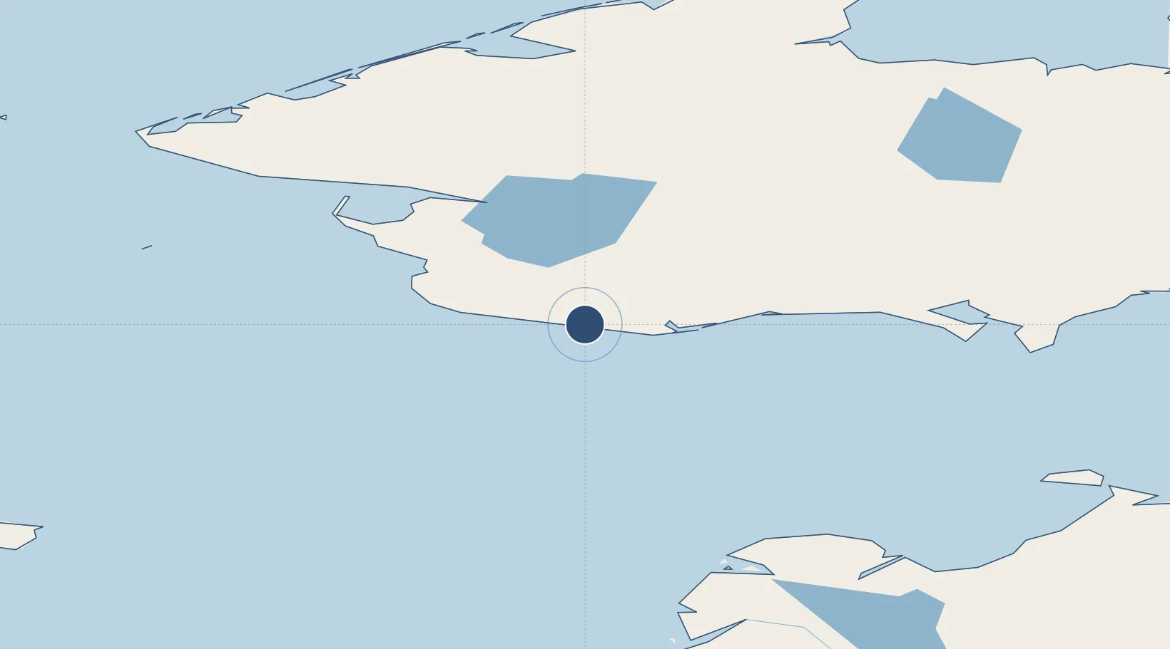
64.5122°, -165.4450°
6,176 ft
Longest runway
2
Runways
37 ft
Elevation
Runway & Layout

Radio Frequencies
ATIS
119.925 MHz
ASOS
119.925 MHz
CTAF
123.6 MHz
CNTR
133.3 MHz
ANCHORAGE CNTR
FSS
122.45 MHz
RDO
MISC
115 MHz
TWEB
Navaids
FDV NDB Fort Davis 529 kHz
OME VOR-DME Nome 115.00 MHz
OYN NDB-DME Gold 0.21 MHz
Runways · 2
| Runway | Dimensions | Surface | True heading | Lit |
|---|---|---|---|---|
| 03/21 | 6,176 × 150ft | Asphalt | 042° | ✓ |
| 10/28 | 6,009 × 150ft | Asphalt | 110° | ✓ |
Airport Specifications
IATA code
OME
ICAO code
PAOM
Airport class
Medium airport
Scheduled service
Yes
Runway surface
Asphalt
Served city
Nome
Location
Nearby Logistics Neighbours
Airports
- 1Teller Airport91 km
- 2White Mountain Airport99 km
- 3Brevig Mission Airport103 km
- 4Port Clarence Coast Guard Station106 km
- 5Golovin Airport117 km
Cities
- 1Sledge Island36 km
- 2Uelen274 km
- 3Lavrentiya286 km
- 4Provideniya, Bukhta377 km
- 5Vankarem595 km
Ports
- 1Nome2 km
- 2Solomon50 km
- 3Kotlik189 km
- 4Shishmaref196 km
- 5St. Michael202 km
Trade Zones
- 1FTZ No. 195 Fairbanks841 km
- 2FTZ No. 160 Anchorage866 km
- 3FTZ No. 232 Kodiak1005 km
- 4FTZ No. 108 Valdez1035 km
- 5PrInce George Logistics Park2633 km
DatabookThe Record of Consolidated Knowledge
United States beyond logistics?