Transport Functions
Port
Hub Profile
Place type
Populated place
Region
Chukotka
Time zone
Asia/Anadyr
Elevation
1 m
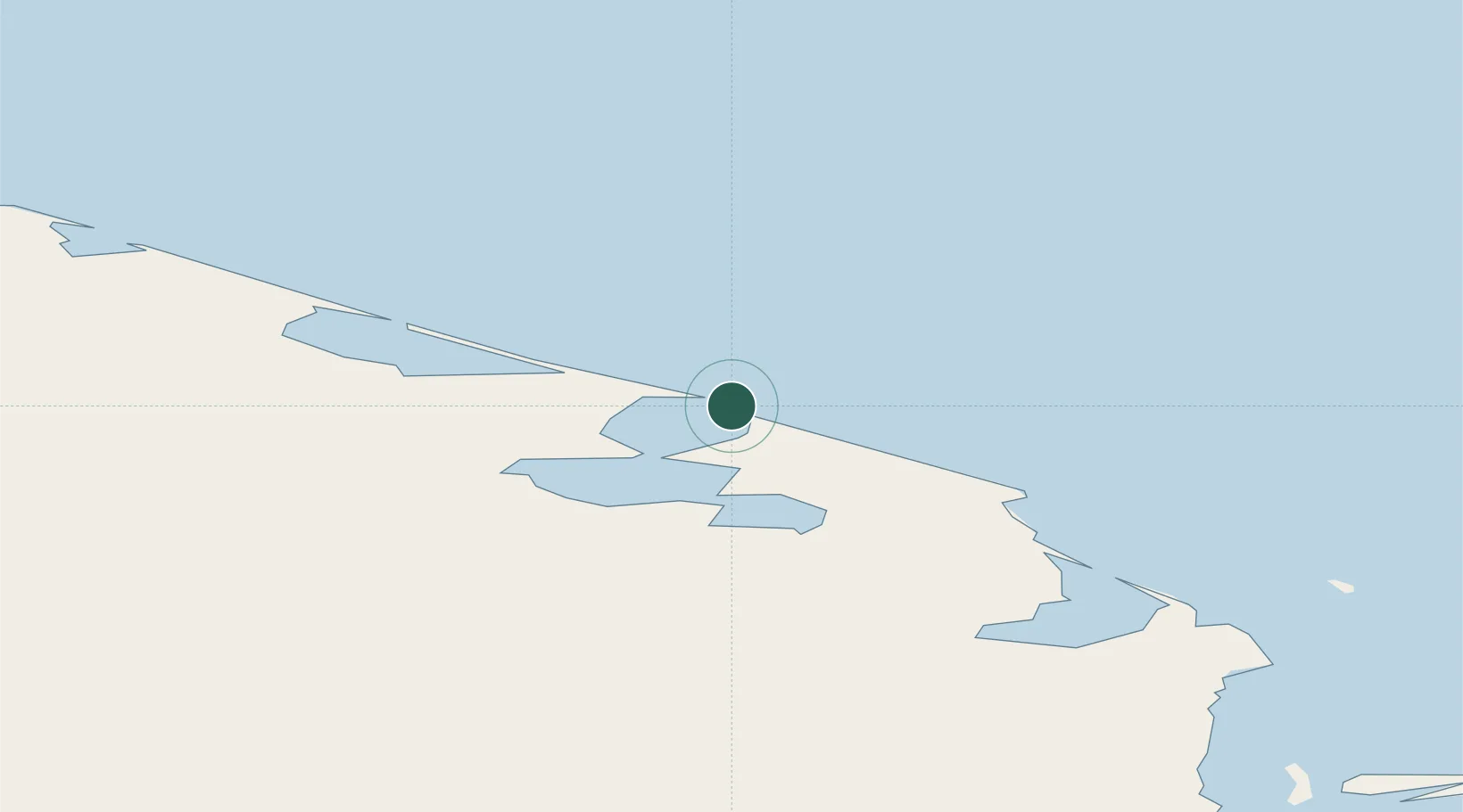
Location
Nearby Logistics Neighbours
Cities
- 1Mys Shmidta187 km
- 2Uelen321 km
- 3Lavrentiya329 km
- 4Provideniya, Bukhta401 km
- 5Sledge Island571 km
Ports
- 1Provideniya398 km
- 2Shishmaref459 km
- 3Savoonga524 km
- 4Kotzebue576 km
- 5Nome597 km
Airports
- 1Point Hope Airport380 km
- 2Diomede Heliport380 km
- 3Provideniya Bay Airport402 km
- 4Cape Lisburne LRRS Airport416 km
- 5Wales Airport420 km
Trade Zones
- 1FTZ No. 195 Fairbanks1287 km
- 2FTZ No. 160 Anchorage1426 km
- 3FTZ No. 108 Valdez1576 km
- 4FTZ No. 232 Kodiak1599 km
- 5PrInce George Logistics Park3129 km
DatabookThe Record of Consolidated Knowledge
Russia beyond logistics?