Small airport · United States
Golovin AirportPAGL
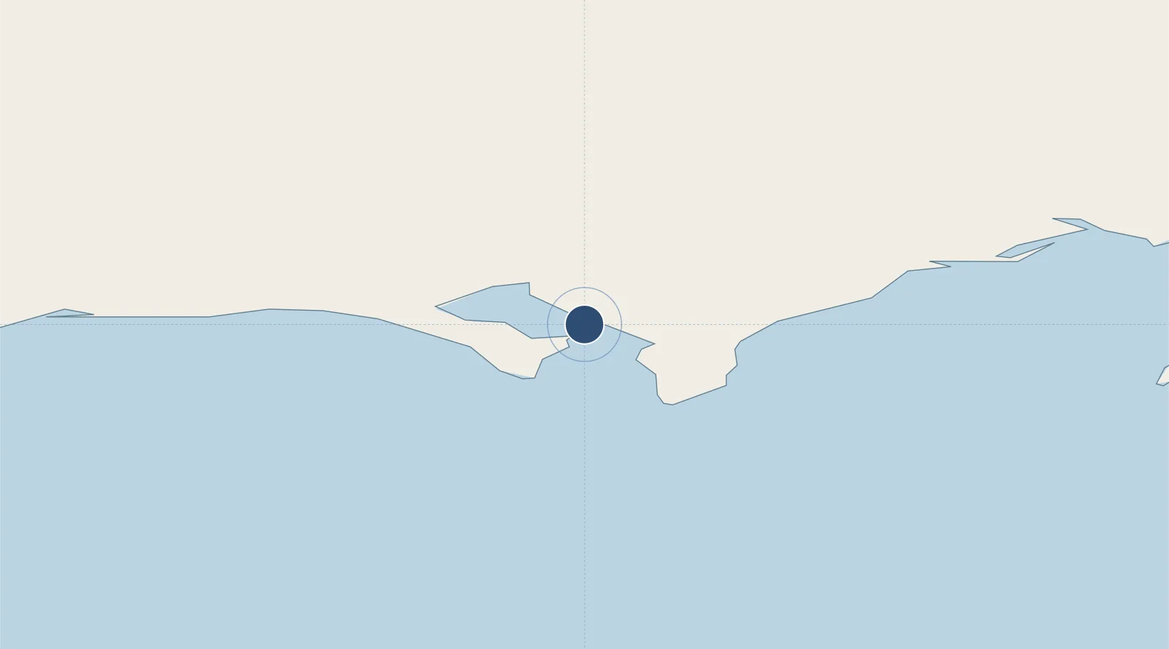
64.5505°, -163.0070°
4,000 ft
Longest runway
1
Runways
59 ft
Elevation
Runway & Layout

Runways · 1
| Runway | Dimensions | Surface | True heading | Lit |
|---|---|---|---|---|
| 03/21 | 4,000 × 75ft | GRAVEL-G | 036° | ✓ |
Airport Specifications
IATA code
GLV
ICAO code
PAGL
Airport class
Small airport
Scheduled service
Yes
Runway surface
GRAVEL-G
Served city
Golovin
Location
Nearby Logistics Neighbours
Airports
- 1White Mountain Airport25 km
- 2Elim Airport36 km
- 3Shaktoolik Airport88 km
- 4Koyuk Alfred Adams Airport98 km
- 5Nome Airport117 km
Cities
- 1Sledge Island153 km
- 2Uelen363 km
- 3Lavrentiya392 km
- 4Provideniya, Bukhta493 km
- 5Vankarem681 km
Ports
- 1Solomon67 km
- 2Nome115 km
- 3St. Michael128 km
- 4Unalakleet131 km
- 5Kotlik171 km
Trade Zones
- 1FTZ No. 195 Fairbanks726 km
- 2FTZ No. 160 Anchorage758 km
- 3FTZ No. 108 Valdez923 km
- 4FTZ No. 232 Kodiak932 km
- 5PrInce George Logistics Park2518 km
DatabookThe Record of Consolidated Knowledge
United States beyond logistics?