Channel & Berth Profile
Pilotage, Tugs & Services
Pilotage availableYES
Potable waterYES
Diesel bunkersYES
Facilities & Capabilities
Container—
Ro-Ro—
Liquid bulk—
Dry bulk—
Oil terminal—
Break bulk—
Dry dock—
Repairs—
BunkeringYES
Rail link—
Dangerous cargo—
ISPS security—
Harbour Specifications
Harbour size
Very Small
Harbour type
River (Natural)
Shelter
Fair
Water body
Bering Sea; North Pacific Ocean
Tidal range
0.9 m
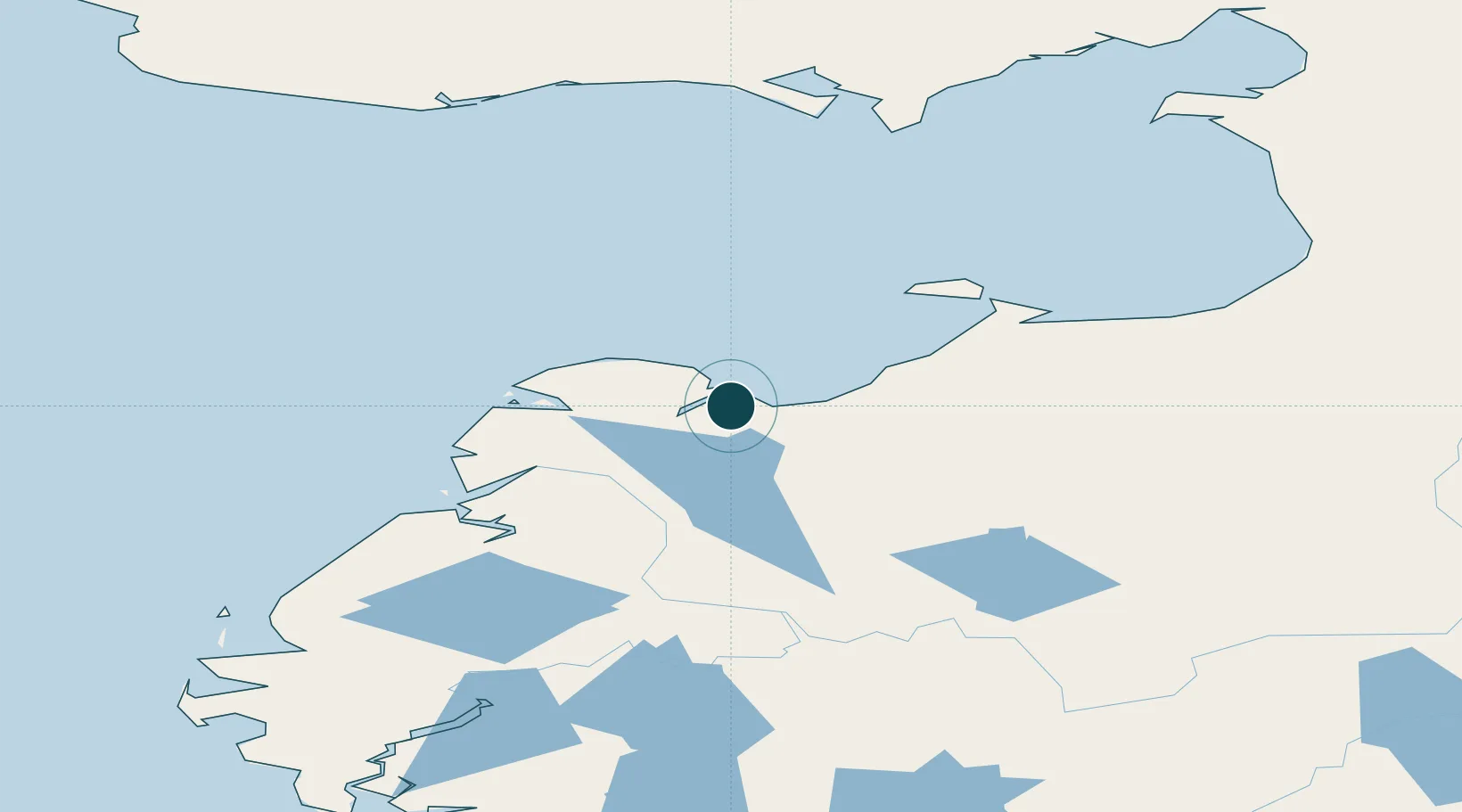
Location
Nearby Logistics Neighbours
Ports
- 1St. Michael91 km
- 2Unalakleet167 km
- 3Solomon174 km
- 4Nome187 km
- 5Bethel265 km
Cities
- 1Sledge Island207 km
- 2Lavrentiya457 km
- 3Uelen459 km
- 4Provideniya, Bukhta503 km
- 5Susitna694 km
Airports
- 1Kotlik Airport1 km
- 2Emmonak Airport55 km
- 3Alakanuk Airport71 km
- 4Stebbins Airport83 km
- 5Nunam Iqua Airport87 km
Trade Zones
- 1FTZ No. 160 Anchorage736 km
- 2FTZ No. 195 Fairbanks797 km
- 3FTZ No. 232 Kodiak823 km
- 4FTZ No. 108 Valdez917 km
- 5PrInce George Logistics Park2525 km
DatabookThe Record of Consolidated Knowledge
United States beyond logistics?