Small airport · United States

Teller AirportPATE

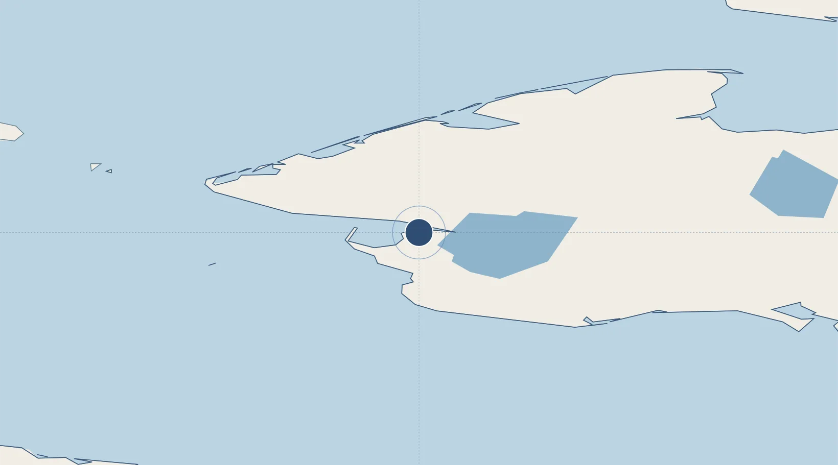
65.2404°, -166.3390°
2,983 ft
Longest runway
1
Runways
294 ft
Elevation

Runway & Layout

Teller Airport runway & taxiway layout
Runway & taxiway layout — OpenStreetMap (ODbL) / OurAirports

Runways · 1

RunwayDimensions SurfaceTrue headingLit
08/26 2,983 × 60ft GRVL-G 089°
OurAirports

Airport Specifications

IATA code
TLA
OurAirports
ICAO code
PATE
OurAirports
Airport class
Small airport
OurAirports
Scheduled service
Yes
OurAirports
Runway surface
GRVL-G
OurAirports
Served city
Teller
OurAirports

Location

Location of PATE
Natural Earth 10m (public domain) · Alaska · PATE · 65.24, -166.34GoogleOSMYandex

Nearby Logistics Neighbours

Airports
  1. 1Brevig Mission Airport12 km
  2. 2Port Clarence Coast Guard Station24 km
  3. 3Tin City Long Range Radar Station Airport82 km
  4. 4Nome Airport91 km
  5. 5Wales Airport92 km
Nearest neighbours — logibook spatial index (haversine) over the source coordinates
Cities
  1. 1Sledge Island84 km
  2. 2Uelen190 km
  3. 3Lavrentiya219 km
  4. 4Provideniya, Bukhta343 km
  5. 5Vankarem510 km
Nearest neighbours — logibook spatial index (haversine) over the source coordinates
Ports
  1. 1Nome93 km
  2. 2Shishmaref113 km
  3. 3Solomon119 km
  4. 4Deering190 km
  5. 5Kotzebue252 km
Nearest neighbours — logibook spatial index (haversine) over the source coordinates
Trade Zones
  1. 1FTZ No. 195 Fairbanks872 km
  2. 2FTZ No. 160 Anchorage932 km
  3. 3FTZ No. 232 Kodiak1092 km
  4. 4FTZ No. 108 Valdez1095 km
  5. 5PrInce George Logistics Park2685 km
Nearest neighbours — logibook spatial index (haversine) over the source coordinates
DatabookThe Record of Consolidated Knowledge
United States beyond logistics?
Browse databook

All Sources

AirportsOurAirports
Public domain
Portsthe NGA World Port Index
Public domain (US gov)
LocationsUN/LOCODE
UN/LOCODE — free
Trade Zonesthe World Bank SEZ database
CC BY 4.0
Trade ZonesOpen Zone Map
CC BY
InfrastructureOpenStreetMap
ODbL 1.0
← United States airports