Small airport · United States
White Mountain AirportPAWM
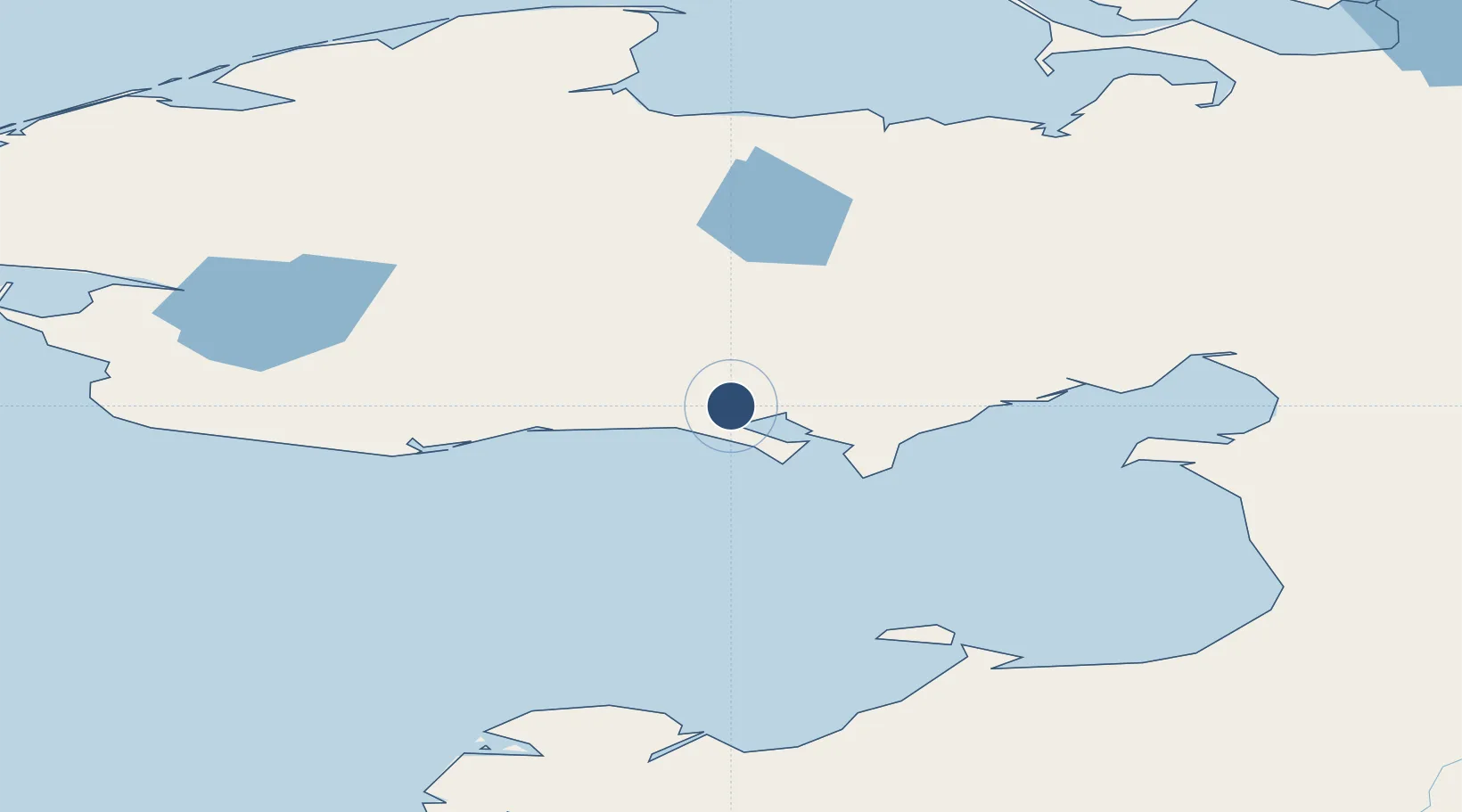
64.6892°, -163.4130°
3,000 ft
Longest runway
1
Runways
267 ft
Elevation
Runway & Layout

Runways · 1
| Runway | Dimensions | Surface | True heading | Lit |
|---|---|---|---|---|
| 15/33 | 3,000 × 60ft | GRVL-G | 164° | — |
Airport Specifications
IATA code
WMO
ICAO code
PAWM
Airport class
Small airport
Scheduled service
Yes
Runway surface
GRVL-G
Served city
White Mountain
Location
Nearby Logistics Neighbours
Airports
- 1Golovin Airport25 km
- 2Elim Airport55 km
- 3Nome Airport99 km
- 4Koyuk Alfred Adams Airport111 km
- 5Shaktoolik Airport111 km
Cities
- 1Sledge Island135 km
- 2Uelen338 km
- 3Lavrentiya368 km
- 4Provideniya, Bukhta473 km
- 5Vankarem656 km
Ports
- 1Solomon50 km
- 2Nome98 km
- 3St. Michael150 km
- 4Unalakleet155 km
- 5Deering158 km
Trade Zones
- 1FTZ No. 195 Fairbanks742 km
- 2FTZ No. 160 Anchorage782 km
- 3FTZ No. 108 Valdez946 km
- 4FTZ No. 232 Kodiak956 km
- 5PrInce George Logistics Park2540 km
DatabookThe Record of Consolidated Knowledge
United States beyond logistics?