Transport Functions
Port
Road
Hub Profile
Place type
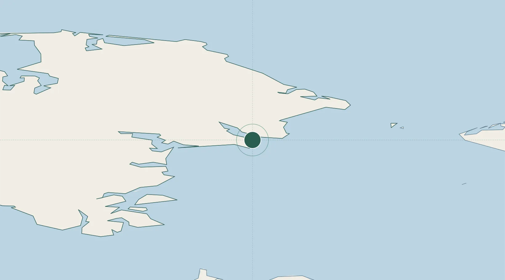
Provincial seat
Region
Chukotka
Population
1,242
Time zone
Asia/Anadyr
Elevation
4 m
Location
Nearby Logistics Neighbours
Cities
- 1Uelen84 km
- 2Provideniya, Bukhta172 km
- 3Sledge Island256 km
- 4Vankarem329 km
- 5Mys Shmidta515 km
Ports
- 1Provideniya166 km
- 2Savoonga213 km
- 3Shishmaref235 km
- 4Nome288 km
- 5Solomon330 km
Airports
- 1Diomede Heliport96 km
- 2Wales Airport134 km
- 3Tin City Long Range Radar Station Airport142 km
- 4Provideniya Bay Airport171 km
- 5Port Clarence Coast Guard Station195 km
Trade Zones
- 1FTZ No. 195 Fairbanks1082 km
- 2FTZ No. 160 Anchorage1149 km
- 3FTZ No. 232 Kodiak1279 km
- 4FTZ No. 108 Valdez1314 km
- 5PrInce George Logistics Park2903 km
DatabookThe Record of Consolidated Knowledge
Russia beyond logistics?