Transport Functions
Port
Hub Profile
Place type
Populated place
Region
Chukotka
Population
697
Time zone
Asia/Anadyr
Elevation
1 m
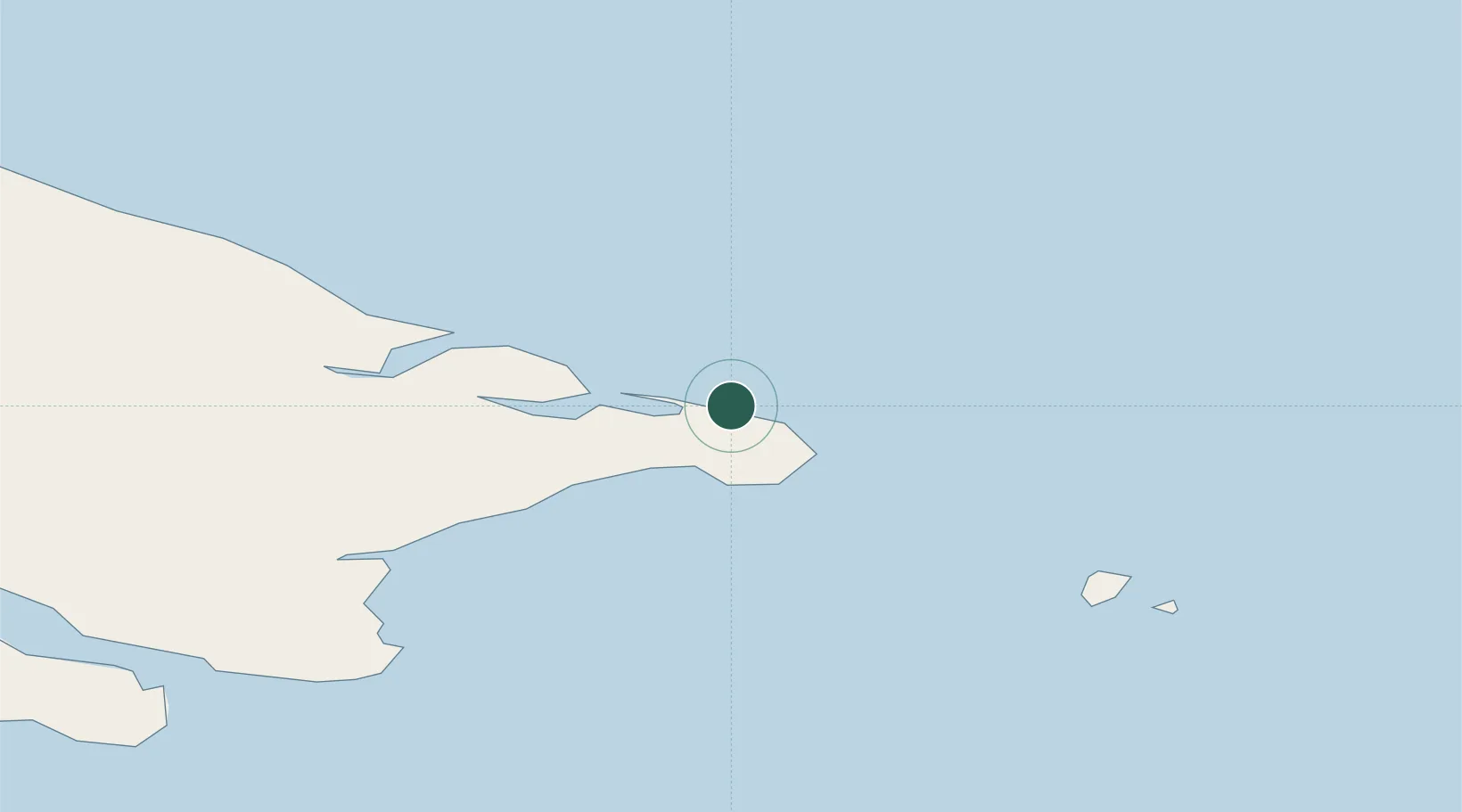
Location
Nearby Logistics Neighbours
Cities
- 1Lavrentiya84 km
- 2Sledge Island251 km
- 3Provideniya, Bukhta256 km
- 4Vankarem321 km
- 5Mys Shmidta507 km
Ports
- 1Shishmaref168 km
- 2Provideniya251 km
- 3Nome276 km
- 4Savoonga278 km
- 5Solomon309 km
Airports
- 1Diomede Heliport60 km
- 2Wales Airport99 km
- 3Tin City Long Range Radar Station Airport109 km
- 4Shishmaref Airport167 km
- 5Port Clarence Coast Guard Station169 km
Trade Zones
- 1FTZ No. 195 Fairbanks1024 km
- 2FTZ No. 160 Anchorage1117 km
- 3FTZ No. 108 Valdez1276 km
- 4FTZ No. 232 Kodiak1278 km
- 5PrInce George Logistics Park2854 km
DatabookThe Record of Consolidated Knowledge
Russia beyond logistics?