Transport Functions
Port
Road
Hub Profile
Region
AK
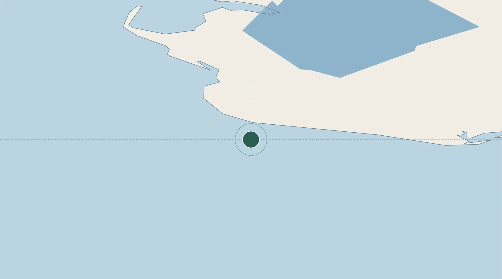
Location
Nearby Logistics Neighbours
Cities
- 1Uelen251 km
- 2Lavrentiya256 km
- 3Provideniya, Bukhta341 km
- 4Vankarem571 km
- 5Mys Shmidta758 km
Ports
- 1Nome38 km
- 2Solomon86 km
- 3Shishmaref197 km
- 4Kotlik207 km
- 5Savoonga223 km
Airports
- 1Nome Airport36 km
- 2Teller Airport84 km
- 3Port Clarence Coast Guard Station91 km
- 4Brevig Mission Airport95 km
- 5White Mountain Airport135 km
Trade Zones
- 1FTZ No. 195 Fairbanks877 km
- 2FTZ No. 160 Anchorage899 km
- 3FTZ No. 232 Kodiak1028 km
- 4FTZ No. 108 Valdez1069 km
- 5PrInce George Logistics Park2669 km
DatabookThe Record of Consolidated Knowledge
United States beyond logistics?