Transport Functions
Port
Road
Airport
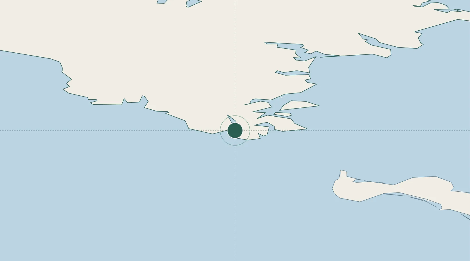
Location
Nearby Logistics Neighbours
Cities
- 1Lavrentiya172 km
- 2Uelen256 km
- 3Sledge Island341 km
- 4Vankarem401 km
- 5Mys Shmidta568 km
Ports
- 1Savoonga161 km
- 2Nome378 km
- 3Shishmaref394 km
- 4Solomon427 km
- 5Kotlik503 km
Airports
- 1Provideniya Bay Airport3 km
- 2Gambell Airport102 km
- 3Savoonga Airport157 km
- 4Diomede Heliport255 km
- 5Wales Airport281 km
Trade Zones
- 1FTZ No. 195 Fairbanks1212 km
- 2FTZ No. 160 Anchorage1232 km
- 3FTZ No. 232 Kodiak1301 km
- 4FTZ No. 108 Valdez1406 km
- 5PrInce George Logistics Park3009 km
DatabookThe Record of Consolidated Knowledge
Russia beyond logistics?