Channel & Berth Profile
Pilotage, Tugs & Services
Pilotage availableYES
Shore powerNO
Potable waterYES
Diesel bunkersNO
MedicalNO
Garbage disposalYES
Facilities & Capabilities
Container—
Ro-Ro—
Liquid bulk—
Dry bulk—
Oil terminal—
Break bulk—
Dry dock—
Repairs—
BunkeringNO
Rail link—
Dangerous cargo—
ISPS security—
Harbour Specifications
Harbour size
Very Small
Harbour type
Open Roadstead
Shelter
Fair
Water body
Chukchi Sea; Arctic Ocean
Tidal range
0.6 m
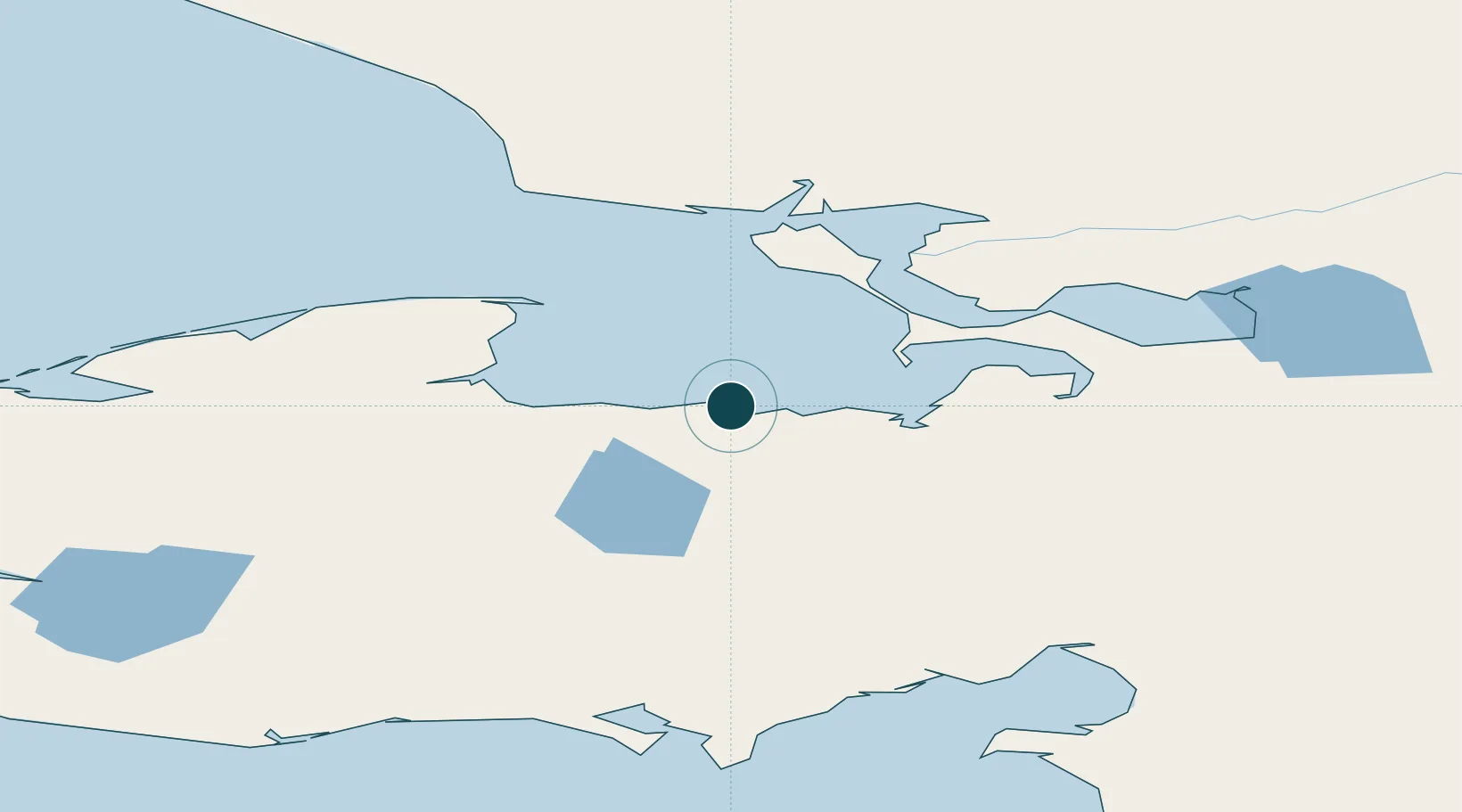
Location
Nearby Logistics Neighbours
Ports
- 1Kotzebue93 km
- 2Shishmaref152 km
- 3Solomon187 km
- 4Nome216 km
- 5Unalakleet261 km
Cities
- 1Sledge Island240 km
- 2Uelen319 km
- 3Lavrentiya380 km
- 4Provideniya, Bukhta527 km
- 5Vankarem602 km
Airports
- 1Deering Airport2 km
- 2Buckland Airport72 km
- 3Ralph Wien Memorial Airport89 km
- 4Robert (Bob) Curtis Memorial Airport112 km
- 5Selawik Airport135 km
Trade Zones
- 1FTZ No. 195 Fairbanks705 km
- 2FTZ No. 160 Anchorage829 km
- 3FTZ No. 108 Valdez974 km
- 4FTZ No. 232 Kodiak1067 km
- 5PrInce George Logistics Park2538 km
DatabookThe Record of Consolidated Knowledge
United States beyond logistics?