Small airport · United States
Elim AirportPFEL
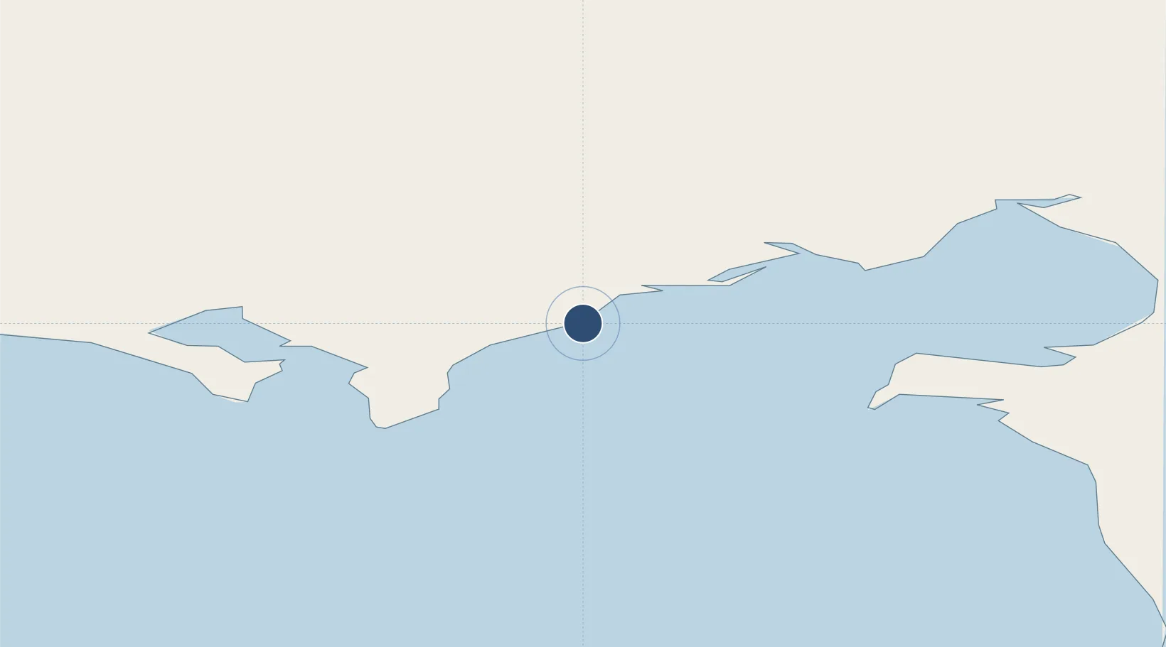
64.6147°, -162.2720°
3,401 ft
Longest runway
1
Runways
162 ft
Elevation
Runway & Layout

Runways · 1
| Runway | Dimensions | Surface | True heading | Lit |
|---|---|---|---|---|
| 01/19 | 3,401 × 60ft | GRVL-G | — | — |
Airport Specifications
IATA code
ELI
ICAO code
PFEL
Airport class
Small airport
Scheduled service
Yes
Runway surface
GRVL-G
Served city
Elim
Location
Nearby Logistics Neighbours
Airports
- 1Golovin Airport36 km
- 2White Mountain Airport55 km
- 3Shaktoolik Airport57 km
- 4Koyuk Alfred Adams Airport64 km
- 5Unalakleet Airport108 km
Cities
- 1Sledge Island188 km
- 2Uelen389 km
- 3Lavrentiya422 km
- 4Provideniya, Bukhta528 km
- 5Susitna683 km
Ports
- 1Solomon102 km
- 2Unalakleet109 km
- 3St. Michael126 km
- 4Nome151 km
- 5Deering165 km
Trade Zones
- 1FTZ No. 195 Fairbanks690 km
- 2FTZ No. 160 Anchorage729 km
- 3FTZ No. 108 Valdez892 km
- 4FTZ No. 232 Kodiak918 km
- 5PrInce George Logistics Park2485 km
DatabookThe Record of Consolidated Knowledge
United States beyond logistics?