Seaport · United States

ShishmarefUSSHH

66.2500°, -166.0833°
3.7 m
Channel depth

Channel & Berth Profile

SEA LEVEL (CD)CHANNEL BEDChannel · 3.7 mAnchorage · 5.5 m
NGA World Port Index

Pilotage, Tugs & Services

Pilotage availableYES
Potable waterYES
Diesel bunkersYES
NGA World Port Index

Facilities & Capabilities

Container
Ro-Ro
Liquid bulk
Dry bulk
Oil terminal
Break bulk
Dry dock
Repairs
Bunkering
Rail link
Dangerous cargo
ISPS security
NGA World Port Index

Harbour Specifications

Harbour size
Very Small
NGA World Port Index
Harbour type
Coastal (Natural)
NGA World Port Index
Shelter
Fair
NGA World Port Index
Water body
Chukchi Sea; Arctic Ocean
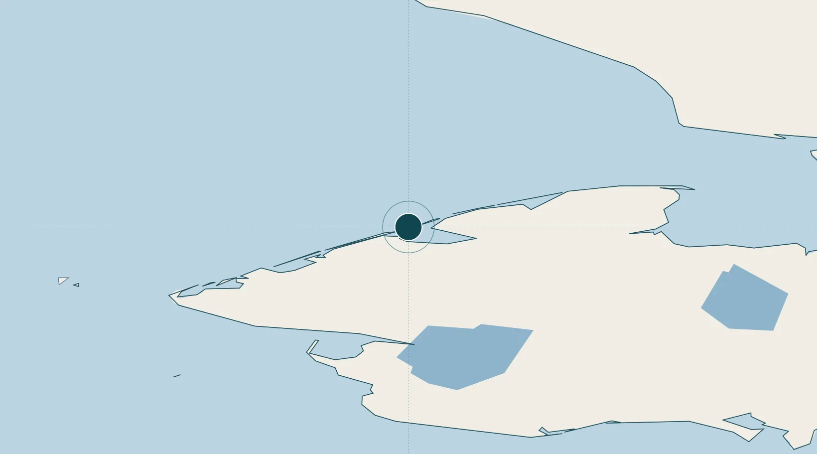
NGA World Port Index

Location

Location of USSHH
Natural Earth 10m (public domain) · Alaska · USSHH · 66.25, -166.08GoogleOSMYandex

Nearby Logistics Neighbours

Ports
  1. 1Deering152 km
  2. 2Kotzebue172 km
  3. 3Nome197 km
  4. 4Solomon204 km
  5. 5Savoonga350 km
Nearest neighbours — logibook spatial index (haversine) over the source coordinates
Cities
  1. 1Uelen168 km
  2. 2Sledge Island197 km
  3. 3Lavrentiya235 km
  4. 4Provideniya, Bukhta394 km
  5. 5Vankarem459 km
Nearest neighbours — logibook spatial index (haversine) over the source coordinates
Airports
  1. 1Shishmaref Airport0 km
  2. 2Brevig Mission Airport104 km
  3. 3Teller Airport113 km
  4. 4Tin City Long Range Radar Station Airport113 km
  5. 5Wales Airport115 km
Nearest neighbours — logibook spatial index (haversine) over the source coordinates
Trade Zones
  1. 1FTZ No. 195 Fairbanks857 km
  2. 2FTZ No. 160 Anchorage968 km
  3. 3FTZ No. 108 Valdez1119 km
  4. 4FTZ No. 232 Kodiak1169 km
  5. 5PrInce George Logistics Park2689 km
Nearest neighbours — logibook spatial index (haversine) over the source coordinates
DatabookThe Record of Consolidated Knowledge
United States beyond logistics?
Browse databook

All Sources

Portsthe NGA World Port Index
Public domain (US gov)
AirportsOurAirports
Public domain
LocationsUN/LOCODE
UN/LOCODE — free
Trade Zonesthe World Bank SEZ database
CC BY 4.0
Trade ZonesOpen Zone Map
CC BY
← United States ports