Small airport · United States

Wales AirportPAIW

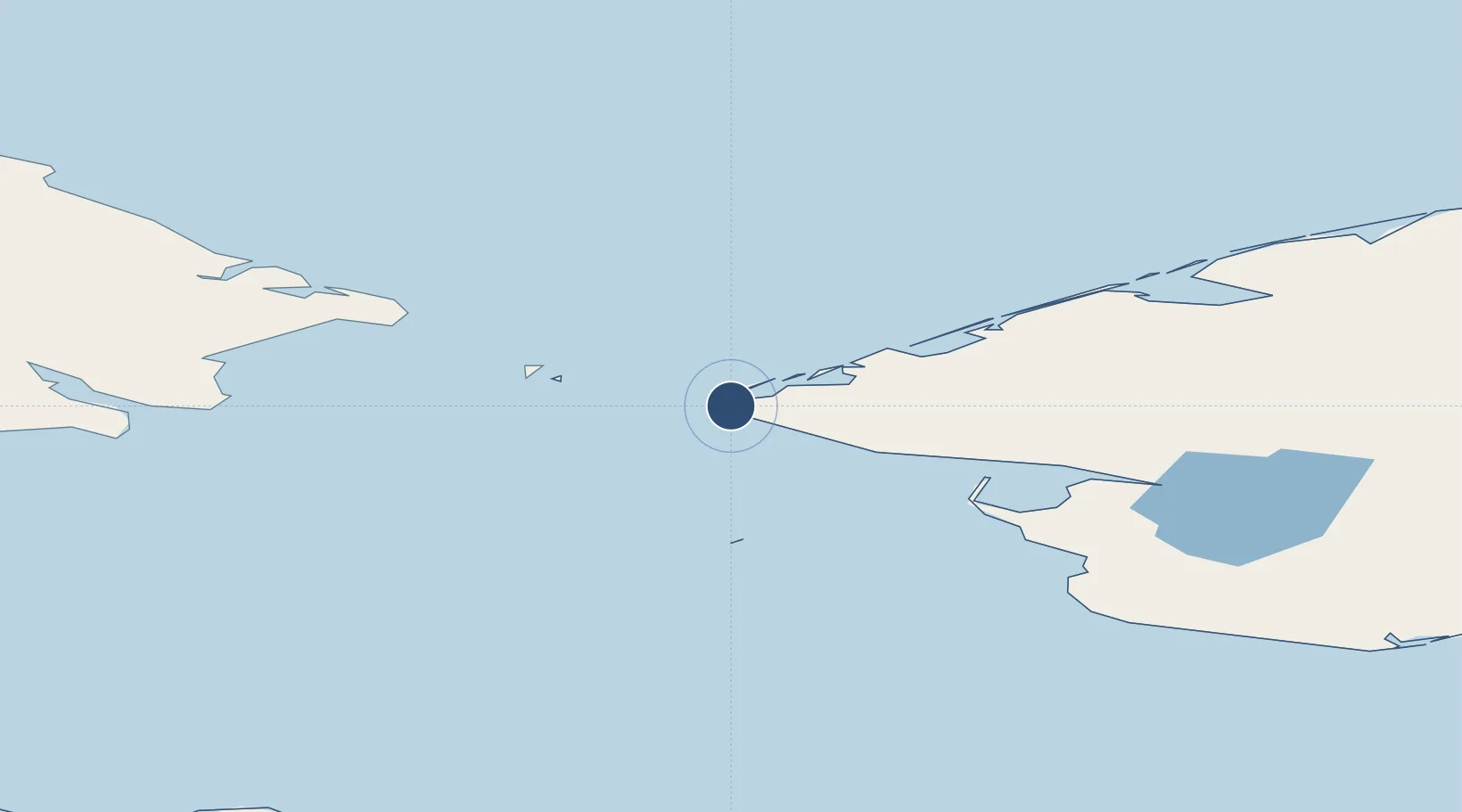
65.6226°, -168.0950°
3,990 ft
Longest runway
1
Runways
22 ft
Elevation

Runway & Layout

Wales Airport runway & taxiway layout
Runway & taxiway layout — OpenStreetMap (ODbL) / OurAirports

Runways · 1

RunwayDimensions SurfaceTrue headingLit
18/36 3,990 × 75ft GRAVEL-G 189°
OurAirports

Airport Specifications

IATA code
WAA
OurAirports
ICAO code
PAIW
OurAirports
Airport class
Small airport
OurAirports
Scheduled service
Yes
OurAirports
Runway surface
GRAVEL-G
OurAirports
Served city
Wales
OurAirports

Location

Location of PAIW
Natural Earth 10m (public domain) · Alaska · PAIW · 65.62, -168.09GoogleOSMYandex

Nearby Logistics Neighbours

Airports
  1. 1Tin City Long Range Radar Station Airport10 km
  2. 2Diomede Heliport42 km
  3. 3Port Clarence Coast Guard Station70 km
  4. 4Brevig Mission Airport82 km
  5. 5Teller Airport92 km
Nearest neighbours — logibook spatial index (haversine) over the source coordinates
Cities
  1. 1Uelen99 km
  2. 2Lavrentiya134 km
  3. 3Sledge Island155 km
  4. 4Provideniya, Bukhta281 km
  5. 5Vankarem420 km
Nearest neighbours — logibook spatial index (haversine) over the source coordinates
Ports
  1. 1Shishmaref115 km
  2. 2Nome177 km
  3. 3Solomon210 km
  4. 4Savoonga242 km
  5. 5Deering249 km
Nearest neighbours — logibook spatial index (haversine) over the source coordinates
Trade Zones
  1. 1FTZ No. 195 Fairbanks949 km
  2. 2FTZ No. 160 Anchorage1023 km
  3. 3FTZ No. 232 Kodiak1180 km
  4. 4FTZ No. 108 Valdez1185 km
  5. 5PrInce George Logistics Park2770 km
Nearest neighbours — logibook spatial index (haversine) over the source coordinates
DatabookThe Record of Consolidated Knowledge
United States beyond logistics?
Browse databook

All Sources

AirportsOurAirports
Public domain
Portsthe NGA World Port Index
Public domain (US gov)
LocationsUN/LOCODE
UN/LOCODE — free
Trade Zonesthe World Bank SEZ database
CC BY 4.0
Trade ZonesOpen Zone Map
CC BY
InfrastructureOpenStreetMap
ODbL 1.0
← United States airports