Seaport · United States

KotzebueUSOTZ

66.9167°, -162.5833°
1.8 m
Channel depth

Channel & Berth Profile

SEA LEVEL (CD)CHANNEL BEDChannel · 1.8 mAnchorage · 7.3 m
NGA World Port Index

Pilotage, Tugs & Services

Pilotage availableYES
MedicalYES
NGA World Port Index

Facilities & Capabilities

Container
Ro-Ro
Liquid bulk
Dry bulk
Oil terminal
Break bulk
Dry dock
Repairs
Bunkering
Rail link
Dangerous cargo
ISPS security
NGA World Port Index

Harbour Specifications
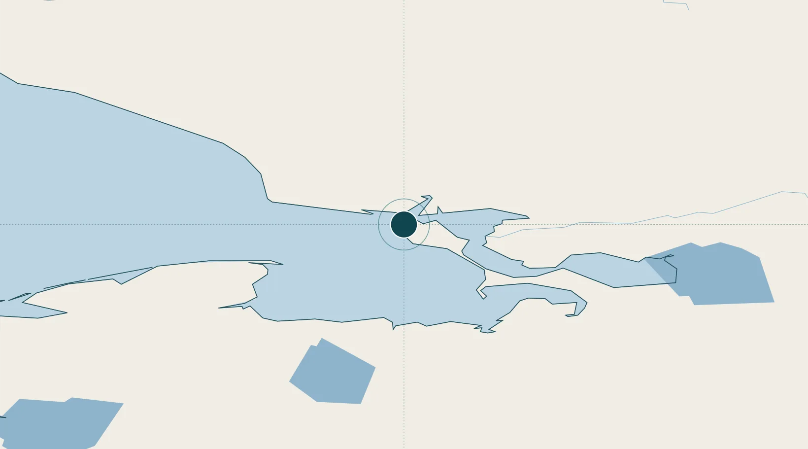
Harbour size
Very Small
NGA World Port Index
Harbour type
Coastal (Natural)
NGA World Port Index
Shelter
Fair
NGA World Port Index
Water body
Chukchi Sea; Arctic Ocean
NGA World Port Index
Tidal range
0.6 m
NGA World Port Index

Location

Location of USOTZ
Natural Earth 10m (public domain) · Alaska · USOTZ · 66.92, -162.58GoogleOSMYandex

Nearby Logistics Neighbours

Ports
  1. 1Deering93 km
  2. 2Shishmaref172 km
  3. 3Solomon276 km
  4. 4Nome298 km
  5. 5Unalakleet347 km
Nearest neighbours — logibook spatial index (haversine) over the source coordinates
Cities
  1. 1Sledge Island317 km
  2. 2Uelen331 km
  3. 3Lavrentiya405 km
  4. 4Point Barrow539 km
  5. 5Provideniya, Bukhta565 km
Nearest neighbours — logibook spatial index (haversine) over the source coordinates
Airports
  1. 1Ralph Wien Memorial Airport4 km
  2. 2Robert (Bob) Curtis Memorial Airport69 km
  3. 3Noatak Airport74 km
  4. 4Bob Baker Memorial Airport94 km
  5. 5Deering Airport95 km
Nearest neighbours — logibook spatial index (haversine) over the source coordinates
Trade Zones
  1. 1FTZ No. 195 Fairbanks712 km
  2. 2FTZ No. 160 Anchorage880 km
  3. 3FTZ No. 108 Valdez1014 km
  4. 4FTZ No. 232 Kodiak1145 km
  5. 5PrInce George Logistics Park2553 km
Nearest neighbours — logibook spatial index (haversine) over the source coordinates
DatabookThe Record of Consolidated Knowledge
United States beyond logistics?
Browse databook

All Sources

Portsthe NGA World Port Index
Public domain (US gov)
AirportsOurAirports
Public domain
LocationsUN/LOCODE
UN/LOCODE — free
Trade Zonesthe World Bank SEZ database
CC BY 4.0
Trade ZonesOpen Zone Map
CC BY
← United States ports