Small airport · United States
Shishmaref AirportPASH
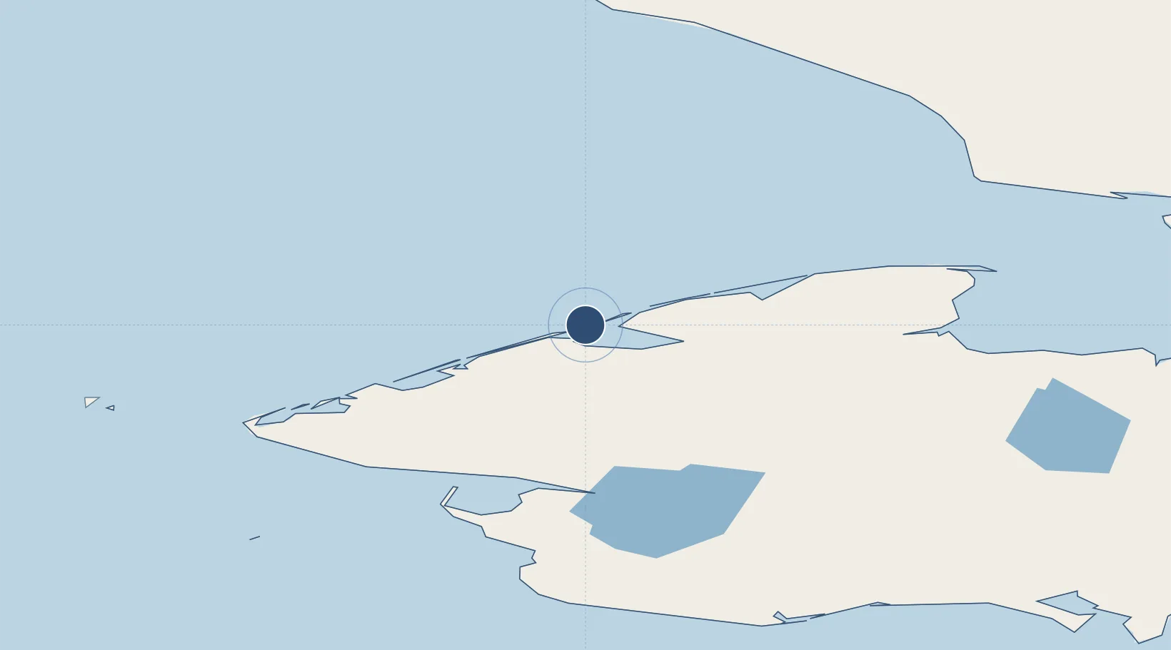
66.2496°, -166.0891°
4,997 ft
Longest runway
1
Runways
12 ft
Elevation
Runway & Layout

Radio Frequencies
AWOS
121.1 MHz
AWOS 3
CTAF
123 MHz
CNTR
119.2 MHz
ANCHORAGE CNTR
FSS
122.4 MHz
NOME RDO
MISC
36.5 MHz
TWEB
Navaids
SHH NDB Shishmaref 365 kHz
Runways · 1
| Runway | Dimensions | Surface | True heading | Lit |
|---|---|---|---|---|
| 05/23 | 4,997 × 73ft | Asphalt | 063° | ✓ |
Airport Specifications
IATA code
SHH
ICAO code
PASH
Airport class
Small airport
Scheduled service
Yes
Runway surface
Asphalt
Served city
Shishmaref
Location
Nearby Logistics Neighbours
Airports
- 1Brevig Mission Airport104 km
- 2Teller Airport113 km
- 3Tin City Long Range Radar Station Airport113 km
- 4Wales Airport115 km
- 5Port Clarence Coast Guard Station116 km
Cities
- 1Uelen167 km
- 2Sledge Island197 km
- 3Lavrentiya235 km
- 4Provideniya, Bukhta394 km
- 5Vankarem459 km
Ports
- 1Shishmaref0 km
- 2Deering152 km
- 3Kotzebue172 km
- 4Nome197 km
- 5Solomon205 km
Trade Zones
- 1FTZ No. 195 Fairbanks857 km
- 2FTZ No. 160 Anchorage968 km
- 3FTZ No. 108 Valdez1120 km
- 4FTZ No. 232 Kodiak1169 km
- 5PrInce George Logistics Park2689 km
DatabookThe Record of Consolidated Knowledge
United States beyond logistics?