Channel & Berth Profile
Pilotage, Tugs & Services
Pilotage availableYES
Shore powerYES
Potable waterNO
Diesel bunkersYES
MedicalYES
Garbage disposalNO
Facilities & Capabilities
Container—
Ro-Ro—
Liquid bulk—
Dry bulk—
Oil terminal—
Break bulk—
Dry dock—
Repairs—
BunkeringYES
Rail link—
Dangerous cargo—
ISPS security—
Harbour Specifications
Harbour size
Very Small
Harbour type
Open Roadstead
Shelter
Poor
Water body
Bering Sea; North Pacific Ocean
Tidal range
0.3 m
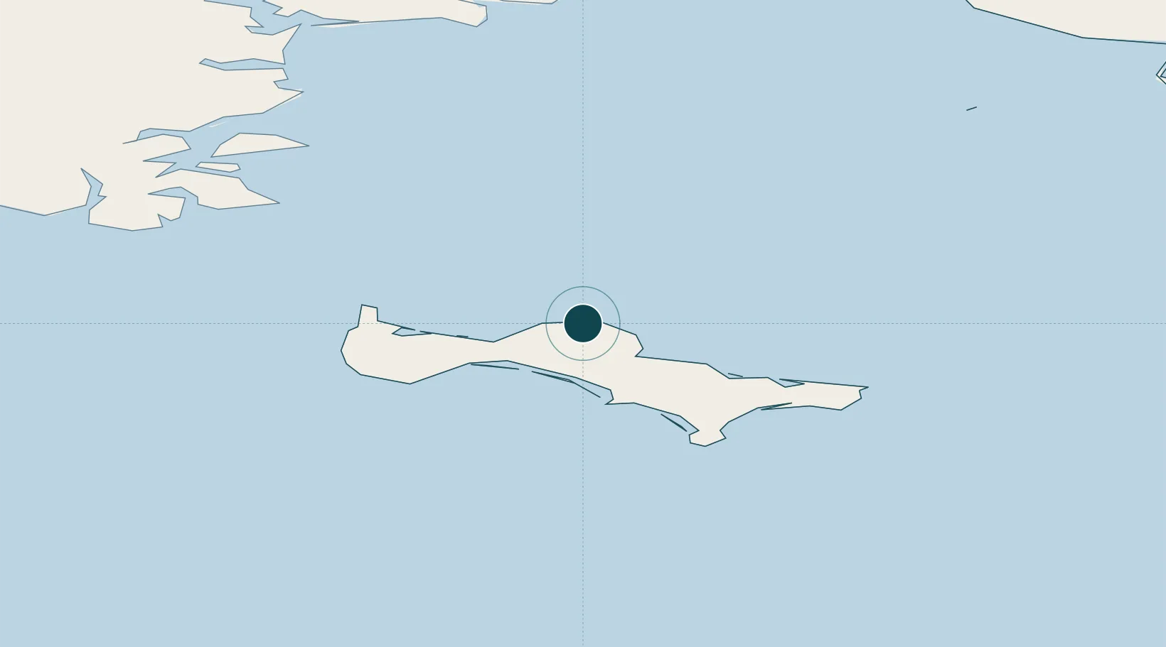
Location
Nearby Logistics Neighbours
Ports
- 1Provideniya160 km
- 2Nome259 km
- 3Solomon307 km
- 4Kotlik349 km
- 5Shishmaref350 km
Cities
- 1Provideniya, Bukhta161 km
- 2Lavrentiya213 km
- 3Sledge Island223 km
- 4Uelen278 km
- 5Vankarem524 km
Airports
- 1Savoonga Airport5 km
- 2Gambell Airport66 km
- 3Provideniya Bay Airport159 km
- 4Tin City Long Range Radar Station Airport240 km
- 5Diomede Heliport241 km
Trade Zones
- 1FTZ No. 160 Anchorage1084 km
- 2FTZ No. 195 Fairbanks1097 km
- 3FTZ No. 232 Kodiak1140 km
- 4FTZ No. 108 Valdez1262 km
- 5PrInce George Logistics Park2869 km
DatabookThe Record of Consolidated Knowledge
United States beyond logistics?