Small airport · United States
Tin City Long Range Radar Station AirportPATC
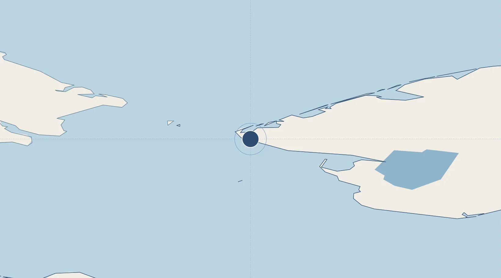
65.5631°, -167.9220°
4,702 ft
Longest runway
1
Runways
271 ft
Elevation
Runway & Layout

Navaids
TNC NDB-DME Tin City 0.35 MHz
Runways · 1
| Runway | Dimensions | Surface | True heading | Lit |
|---|---|---|---|---|
| 17/35 | 4,702 × 100ft | GRVL | 175° | — |
Airport Specifications
IATA code
TNC
ICAO code
PATC
Airport class
Small airport
Scheduled service
Yes
Runway surface
GRVL
Served city
Tin City
Location
Nearby Logistics Neighbours
Airports
- 1Wales Airport10 km
- 2Diomede Heliport52 km
- 3Port Clarence Coast Guard Station60 km
- 4Brevig Mission Airport72 km
- 5Teller Airport82 km
Cities
- 1Uelen109 km
- 2Lavrentiya142 km
- 3Sledge Island145 km
- 4Provideniya, Bukhta285 km
- 5Vankarem431 km
Ports
- 1Shishmaref113 km
- 2Nome167 km
- 3Solomon200 km
- 4Savoonga240 km
- 5Deering243 km
Trade Zones
- 1FTZ No. 195 Fairbanks942 km
- 2FTZ No. 160 Anchorage1013 km
- 3FTZ No. 232 Kodiak1170 km
- 4FTZ No. 108 Valdez1175 km
- 5PrInce George Logistics Park2761 km
DatabookThe Record of Consolidated Knowledge
United States beyond logistics?