Channel & Berth Profile
Pilotage, Tugs & Services
Pilotage availableYES
Shore powerYES
Potable waterYES
Diesel bunkersYES
MedicalYES
Garbage disposalNO
Facilities & Capabilities
Container—
Ro-Ro—
Liquid bulk—
Dry bulk—
Oil terminal—
Break bulk—
Dry dock—
RepairsNO
BunkeringYES
Rail link—
Dangerous cargo—
ISPS security—
Harbour Specifications
Harbour size
Very Small
Harbour type
Coastal (Natural)
Shelter
Fair
Water body
North Pacific Ocean
Tidal range
1.5 m
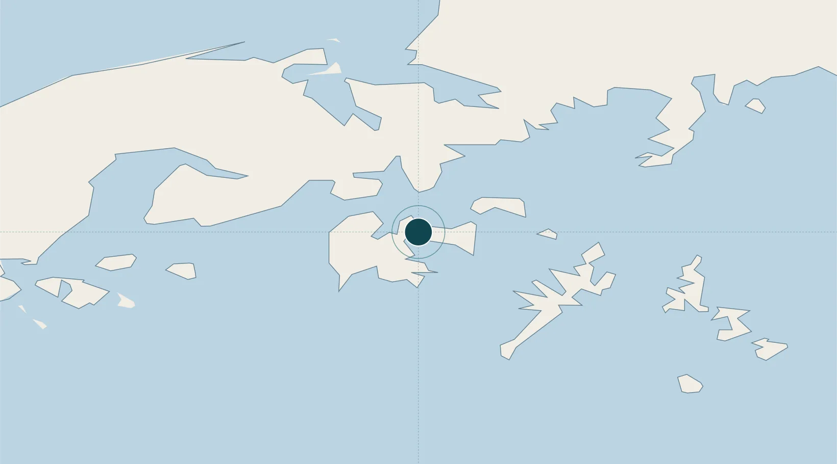
Location
Nearby Logistics Neighbours
Ports
- 1Port Moller72 km
- 2Ivanof Bay85 km
- 3King Cove118 km
- 4Cold Bay138 km
- 5Chignik171 km
Cities
- 1Lenard Harbour122 km
- 2Dutch Harbor418 km
- 3Kaguyak452 km
- 4Afognak559 km
- 5Jakolof Bay707 km
Airports
- 1Sand Point Airport2 km
- 2Nelson Lagoon Airport85 km
- 3Perryville Airport107 km
- 4King Cove Airport113 km
- 5Cold Bay Airport140 km
Trade Zones
- 1FTZ No. 232 Kodiak484 km
- 2FTZ No. 160 Anchorage903 km
- 3FTZ No. 108 Valdez1047 km
- 4FTZ No. 195 Fairbanks1269 km
- 5PrInce George Logistics Park2407 km
DatabookThe Record of Consolidated Knowledge
United States beyond logistics?