Transport Functions
Port
Road
Multimodal
Hub Profile
Place type
Populated place
Region
Alaska
Time zone
America/Anchorage
Elevation
147 m
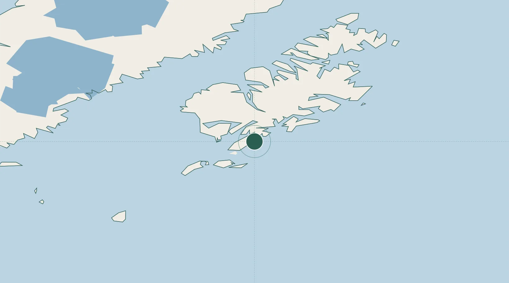
Location
Nearby Logistics Neighbours
Cities
- 1Afognak140 km
- 2Jakolof Bay317 km
- 3Anchorage534 km
- 4Port MacKenzie537 km
- 5Elmendorf Air Force Base538 km
Ports
- 1Mccord47 km
- 2Larsen Bay75 km
- 3Uyak86 km
- 4Karluk88 km
- 5Kodiak132 km
Airports
- 1Akhiok Airport26 km
- 2Moser Bay Seaplane Base28 km
- 3Alitak Seaplane Base29 km
- 4Olga Bay Seaplane Base43 km
- 5Old Harbor Airport50 km
Trade Zones
- 1FTZ No. 232 Kodiak68 km
- 2FTZ No. 160 Anchorage535 km
- 3FTZ No. 108 Valdez636 km
- 4FTZ No. 195 Fairbanks945 km
- 5PrInce George Logistics Park1970 km
DatabookThe Record of Consolidated Knowledge
United States beyond logistics?