Medium airport · United States
Sand Point AirportPASD
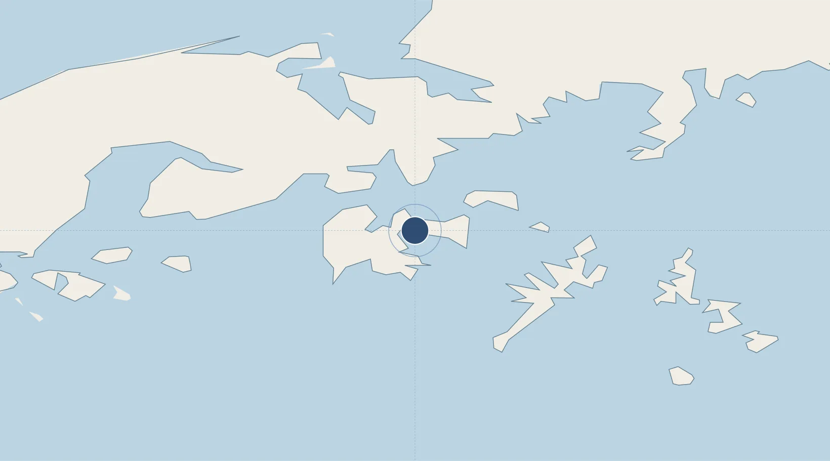
55.3139°, -160.5221°
4,000 ft
Longest runway
1
Runways
21 ft
Elevation
Runway & Layout

Radio Frequencies
AWOS
134.85 MHz
AWOS 3
CLD
122.3 MHz
CLNC DEL
CTAF
122.3 MHz
CNTR
125.35 MHz
ANCHORAGE CNTR
FSS
122.3 MHz
COLD BAY RDO
UNIC
122.8 MHz
UNICOM
Navaids
HBT NDB-DME Borland 0.39 MHz
Runways · 1
| Runway | Dimensions | Surface | True heading | Lit |
|---|---|---|---|---|
| 13/31 | 4,000 × 150ft | Asphalt | 149° | ✓ |
Airport Specifications
IATA code
SDP
ICAO code
PASD
Airport class
Medium airport
Scheduled service
Yes
Runway surface
Asphalt
Served city
Sand Point
Location
Nearby Logistics Neighbours
Airports
- 1Nelson Lagoon Airport87 km
- 2Perryville Airport108 km
- 3King Cove Airport113 km
- 4Cold Bay Airport140 km
- 5Chignik Lake Airport151 km
Cities
- 1Lenard Harbour122 km
- 2Dutch Harbor418 km
- 3Kaguyak452 km
- 4Afognak560 km
- 5Jakolof Bay708 km
Ports
- 1Sand Point2 km
- 2Port Moller75 km
- 3Ivanof Bay86 km
- 4King Cove118 km
- 5Cold Bay139 km
Trade Zones
- 1FTZ No. 232 Kodiak485 km
- 2FTZ No. 160 Anchorage904 km
- 3FTZ No. 108 Valdez1048 km
- 4FTZ No. 195 Fairbanks1271 km
- 5PrInce George Logistics Park2407 km
DatabookThe Record of Consolidated Knowledge
United States beyond logistics?