Medium airport · United States
Cold Bay AirportPACD
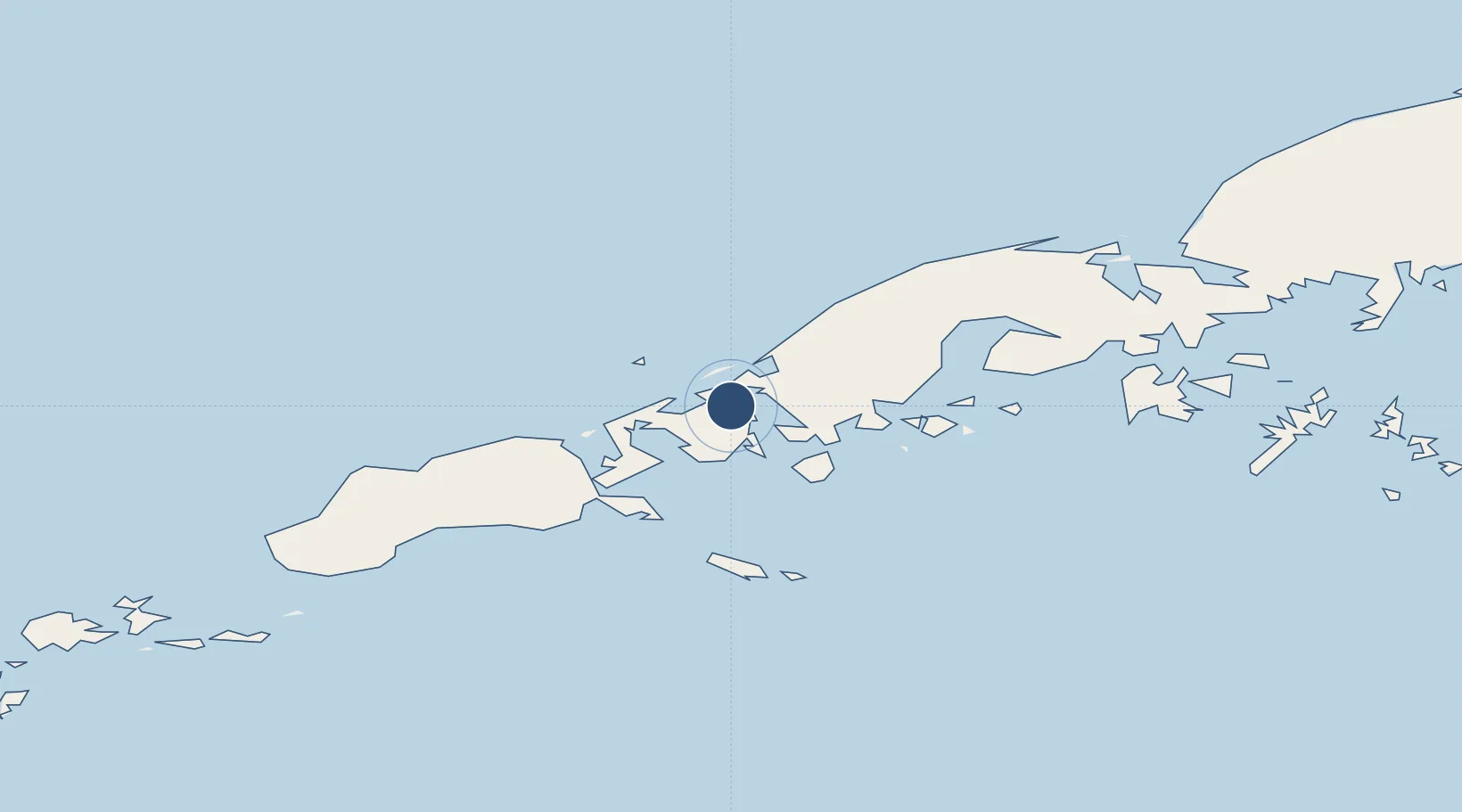
55.2079°, -162.7250°
10,179 ft
Longest runway
2
Runways
96 ft
Elevation
Runway & Layout

Radio Frequencies
ASOS
135.75 MHz
CTAF
123.6 MHz
CNTR
118.5 MHz
ANCHORAGE CNTR
FSS
123.6 MHz
RDO
RFSS
123.6 MHz
KENAI RDO
Navaids
CD NDB Elfee 341 kHz
CDB VORTAC Cold Bay 112.60 MHz
Runways · 2
| Runway | Dimensions | Surface | True heading | Lit |
|---|---|---|---|---|
| 15/33 | 10,179 × 150ft | Asphalt | 158° | ✓ |
| 08/26 | 4,900 × 150ft | Asphalt | 095° | ✓ |
Airport Specifications
IATA code
CDB
ICAO code
PACD
Airport class
Medium airport
Scheduled service
Yes
Runway surface
Asphalt
Served city
Cold Bay
Location
Nearby Logistics Neighbours
Airports
- 1King Cove Airport31 km
- 2False Pass Airport59 km
- 3Nelson Lagoon Airport133 km
- 4Sand Point Airport140 km
- 5Akutan Airport220 km
Cities
- 1Lenard Harbour22 km
- 2Dutch Harbor286 km
- 3Kaguyak585 km
- 4Burnopfield615 km
- 5Afognak683 km
Ports
- 1Cold Bay2 km
- 2King Cove31 km
- 3Sand Point140 km
- 4Port Moller161 km
- 5Ivanof Bay216 km
Trade Zones
- 1FTZ No. 232 Kodiak612 km
- 2FTZ No. 160 Anchorage1004 km
- 3FTZ No. 108 Valdez1159 km
- 4FTZ No. 195 Fairbanks1351 km
- 5PrInce George Logistics Park2546 km
DatabookThe Record of Consolidated Knowledge
United States beyond logistics?