Transport Functions
Port
Hub Profile
Region
Alaska
Time zone
America/Anchorage
Elevation
28 m
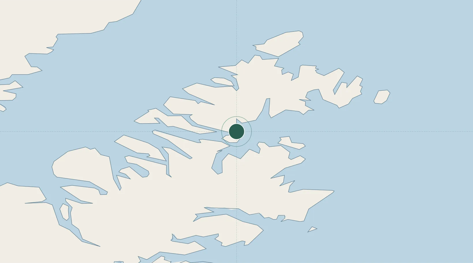
Location
Nearby Logistics Neighbours
Cities
- 1Kaguyak140 km
- 2Jakolof Bay177 km
- 3Anchorage395 km
- 4Port MacKenzie397 km
- 5Elmendorf Air Force Base398 km
Ports
- 1Ouzinkie18 km
- 2Kodiak32 km
- 3Port William55 km
- 4Uyak84 km
- 5Larsen Bay89 km
Airports
- 1Port Lions Airport14 km
- 2Port Bailey Seaplane Base18 km
- 3Ouzinkie Airport19 km
- 4Kitoi Bay Seaplane Base32 km
- 5Kodiak Airport32 km
Trade Zones
- 1FTZ No. 232 Kodiak80 km
- 2FTZ No. 160 Anchorage395 km
- 3FTZ No. 108 Valdez501 km
- 4FTZ No. 195 Fairbanks807 km
- 5PrInce George Logistics Park1906 km
DatabookThe Record of Consolidated Knowledge
United States beyond logistics?