Channel & Berth Profile
Pilotage, Tugs & Services
Pilotage availableYES
Shore powerNO
Potable waterYES
Diesel bunkersYES
MedicalYES
Garbage disposalNO
Facilities & Capabilities
Container—
Ro-Ro—
Liquid bulk—
Dry bulk—
Oil terminal—
Break bulk—
Dry dock—
RepairsNO
BunkeringYES
Rail link—
Dangerous cargo—
ISPS security—
Harbour Specifications
Harbour size
Very Small
Harbour type
Coastal (Natural)
Shelter
Poor
Water body
North Pacific Ocean
Tidal range
1.5 m
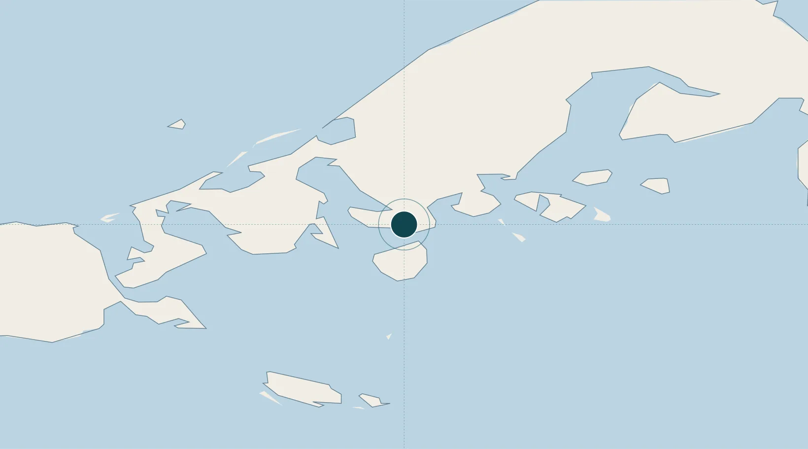
Location
Nearby Logistics Neighbours
Ports
- 1Cold Bay30 km
- 2Sand Point118 km
- 3Port Moller151 km
- 4Ivanof Bay198 km
- 5Akutan Harbor246 km
Cities
- 1Lenard Harbour10 km
- 2Dutch Harbor301 km
- 3Kaguyak568 km
- 4Burnopfield639 km
- 5Afognak671 km
Airports
- 1King Cove Airport8 km
- 2Cold Bay Airport31 km
- 3False Pass Airport73 km
- 4Sand Point Airport118 km
- 5Nelson Lagoon Airport129 km
Trade Zones
- 1FTZ No. 232 Kodiak598 km
- 2FTZ No. 160 Anchorage1000 km
- 3FTZ No. 108 Valdez1151 km
- 4FTZ No. 195 Fairbanks1352 km
- 5PrInce George Logistics Park2525 km
DatabookThe Record of Consolidated Knowledge
United States beyond logistics?