Channel & Berth Profile
Facilities & Capabilities
Container—
Ro-Ro—
Liquid bulk—
Dry bulk—
Oil terminal—
Break bulk—
Dry dock—
Repairs—
Bunkering—
Rail link—
Dangerous cargo—
ISPS security—
Harbour Specifications
Harbour size
Very Small
Harbour type
Coastal (Natural)
Shelter
Fair
Water body
North Pacific Ocean
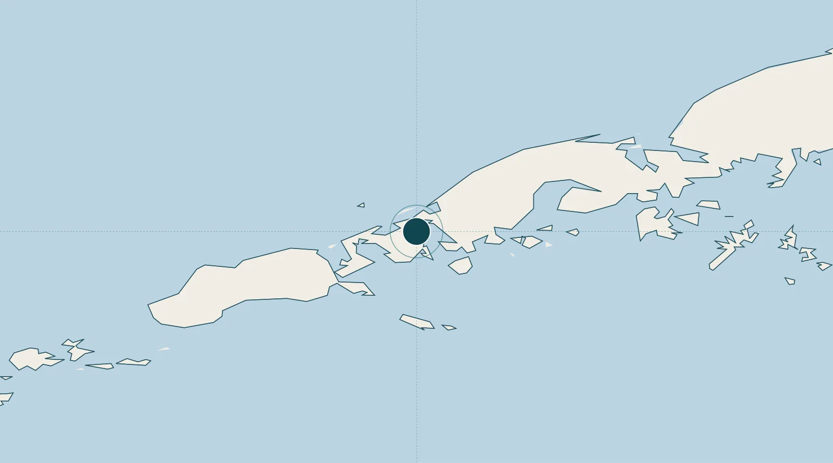
Location
Nearby Logistics Neighbours
Ports
- 1King Cove30 km
- 2Sand Point138 km
- 3Port Moller160 km
- 4Ivanof Bay214 km
- 5Akutan Harbor232 km
Cities
- 1Lenard Harbour20 km
- 2Dutch Harbor287 km
- 3Kaguyak584 km
- 4Burnopfield616 km
- 5Afognak682 km
Airports
- 1Cold Bay Airport2 km
- 2King Cove Airport29 km
- 3False Pass Airport60 km
- 4Nelson Lagoon Airport132 km
- 5Sand Point Airport139 km
Trade Zones
- 1FTZ No. 232 Kodiak611 km
- 2FTZ No. 160 Anchorage1004 km
- 3FTZ No. 108 Valdez1158 km
- 4FTZ No. 195 Fairbanks1351 km
- 5PrInce George Logistics Park2545 km
DatabookThe Record of Consolidated Knowledge
United States beyond logistics?