Transport Functions
Port
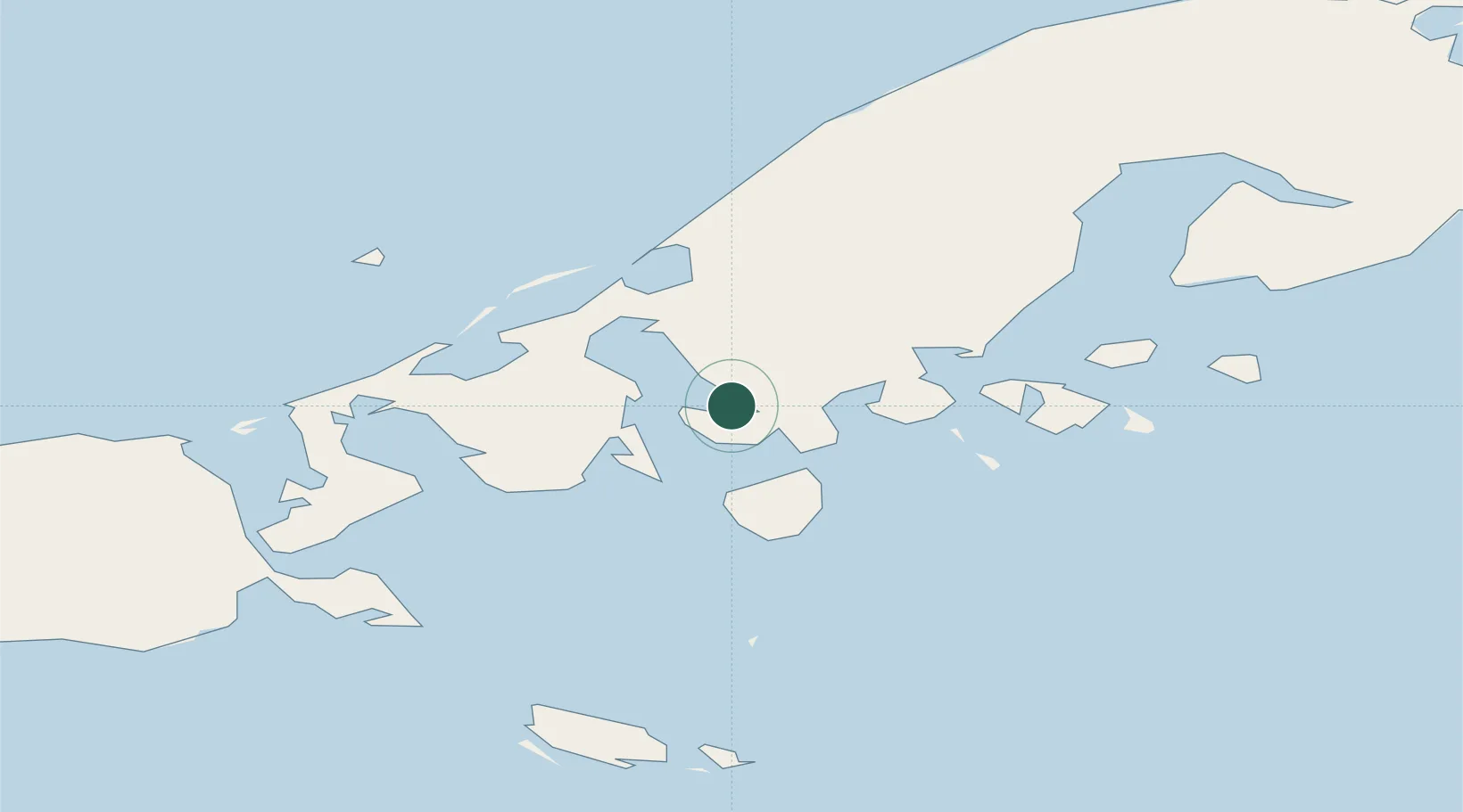
Hub Profile
Region
AK
Location
Nearby Logistics Neighbours
Cities
- 1Dutch Harbor299 km
- 2Kaguyak571 km
- 3Burnopfield633 km
- 4Afognak672 km
- 5Achau717 km
Ports
- 1King Cove10 km
- 2Cold Bay20 km
- 3Sand Point122 km
- 4Port Moller151 km
- 5Ivanof Bay201 km
Airports
- 1King Cove Airport10 km
- 2Cold Bay Airport22 km
- 3False Pass Airport70 km
- 4Sand Point Airport122 km
- 5Nelson Lagoon Airport127 km
Trade Zones
- 1FTZ No. 232 Kodiak599 km
- 2FTZ No. 160 Anchorage999 km
- 3FTZ No. 108 Valdez1151 km
- 4FTZ No. 195 Fairbanks1349 km
- 5PrInce George Logistics Park2529 km
DatabookThe Record of Consolidated Knowledge
United States beyond logistics?