Transport Functions
Port
Road
Airport
Hub Profile
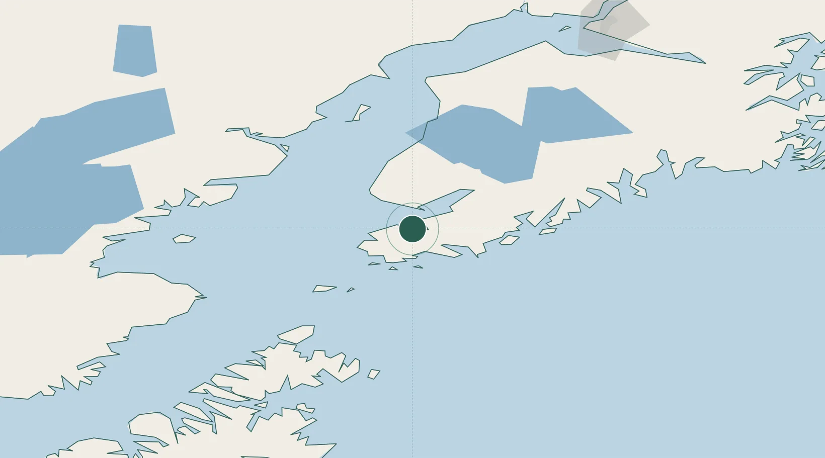
Place type
Populated place
Region
Alaska
Time zone
America/Anchorage
Elevation
8 m
Location
Nearby Logistics Neighbours
Cities
- 1Afognak177 km
- 2Anchorage218 km
- 3Port MacKenzie220 km
- 4Elmendorf Air Force Base221 km
- 5Susitna238 km
Ports
- 1Seldovia12 km
- 2Homer18 km
- 3Port Graham20 km
- 4Ninilchik67 km
- 5Kenai123 km
Airports
- 1Seldovia Airport11 km
- 2Port Graham Airport21 km
- 3Homer Airport22 km
- 4Nanwalek Airport26 km
- 5Soldotna Airport117 km
Trade Zones
- 1FTZ No. 160 Anchorage218 km
- 2FTZ No. 232 Kodiak253 km
- 3FTZ No. 108 Valdez340 km
- 4FTZ No. 195 Fairbanks631 km
- 5PrInce George Logistics Park1844 km
DatabookThe Record of Consolidated Knowledge
United States beyond logistics?