Small airport · United States
Nelson Lagoon AirportPAOU
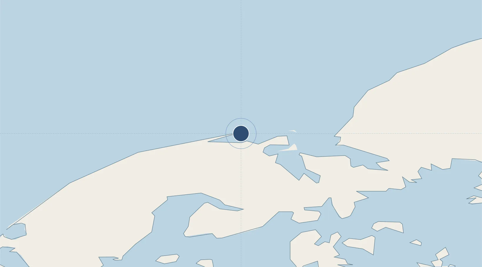
56.0075°, -161.1600°
4,003 ft
Longest runway
1
Runways
14 ft
Elevation
Runway & Layout

Runways · 1
| Runway | Dimensions | Surface | True heading | Lit |
|---|---|---|---|---|
| 08/26 | 4,003 × 75ft | GRVL-G | 096° | — |
Airport Specifications
IATA code
NLG
ICAO code
PAOU
Airport class
Small airport
Scheduled service
Yes
Runway surface
GRVL-G
Served city
Nelson Lagoon
Location
Nearby Logistics Neighbours
Airports
- 1Sand Point Airport87 km
- 2King Cove Airport121 km
- 3Perryville Airport125 km
- 4Cold Bay Airport133 km
- 5Chignik Lake Airport150 km
Cities
- 1Lenard Harbour127 km
- 2Dutch Harbor416 km
- 3Kaguyak463 km
- 4Afognak554 km
- 5Jakolof Bay688 km
Ports
- 1Port Moller37 km
- 2Sand Point85 km
- 3Ivanof Bay108 km
- 4King Cove129 km
- 5Cold Bay132 km
Trade Zones
- 1FTZ No. 232 Kodiak485 km
- 2FTZ No. 160 Anchorage872 km
- 3FTZ No. 108 Valdez1027 km
- 4FTZ No. 195 Fairbanks1224 km
- 5PrInce George Logistics Park2431 km
DatabookThe Record of Consolidated Knowledge
United States beyond logistics?