Small airport · United States
King Cove AirportPAVC
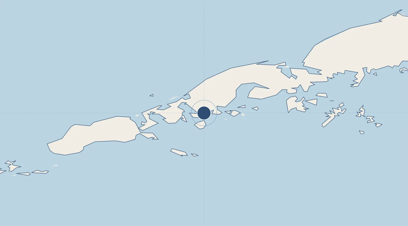
55.1163°, -162.2660°
3,500 ft
Longest runway
1
Runways
155 ft
Elevation
Runway & Layout

Runways · 1
| Runway | Dimensions | Surface | True heading | Lit |
|---|---|---|---|---|
| 08/26 | 3,500 × 115ft | GRVL-G | 088° | ✓ |
Airport Specifications
IATA code
KVC
ICAO code
PAVC
Airport class
Small airport
Scheduled service
Yes
Runway surface
GRVL-G
Served city
King Cove
Location
Nearby Logistics Neighbours
Airports
- 1Cold Bay Airport31 km
- 2False Pass Airport79 km
- 3Sand Point Airport113 km
- 4Nelson Lagoon Airport121 km
- 5Perryville Airport214 km
Cities
- 1Lenard Harbour10 km
- 2Dutch Harbor307 km
- 3Kaguyak562 km
- 4Burnopfield643 km
- 5Afognak664 km
Ports
- 1King Cove8 km
- 2Cold Bay29 km
- 3Sand Point113 km
- 4Port Moller144 km
- 5Ivanof Bay192 km
Trade Zones
- 1FTZ No. 232 Kodiak591 km
- 2FTZ No. 160 Anchorage992 km
- 3FTZ No. 108 Valdez1144 km
- 4FTZ No. 195 Fairbanks1344 km
- 5PrInce George Logistics Park2520 km
DatabookThe Record of Consolidated Knowledge
United States beyond logistics?