UN/LOCODE hub · United States
USDUT
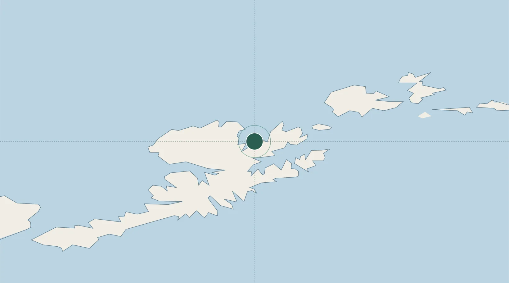
Dutch Harbor
53.8897°, -166.5338°
4,376
Population
2
Transport functions
2
Container terminals
Transport Functions
Port
Airport
Hub Profile
Place type
Populated place
Region
Alaska
Population
4,376
Time zone
America/Anchorage
Elevation
4 m
Logistics facilities
5
Container terminals
2
Location
Nearby Logistics Neighbours
Cities
- 1Lenard Harbour299 km
- 2Burnopfield366 km
- 3Mitchem599 km
- 4Achau645 km
- 5Yoke Bay669 km
Ports
- 1Unalaska3 km
- 2Akutan Harbor55 km
- 3Cold Bay287 km
- 4King Cove301 km
- 5Sand Point418 km
Airports
- 1Tom Madsen (Dutch Harbor) Airport1 km
- 2Akutan Seaplane Base Heliport56 km
- 3Akutan Airport67 km
- 4Nikolski Air Station186 km
- 5False Pass Airport229 km
Trade Zones
- 1FTZ No. 232 Kodiak898 km
- 2FTZ No. 160 Anchorage1280 km
- 3FTZ No. 108 Valdez1440 km
- 4FTZ No. 195 Fairbanks1606 km
- 5PrInce George Logistics Park2822 km
DatabookThe Record of Consolidated Knowledge
United States beyond logistics?