Small airport · United States
Perryville AirportPAPE
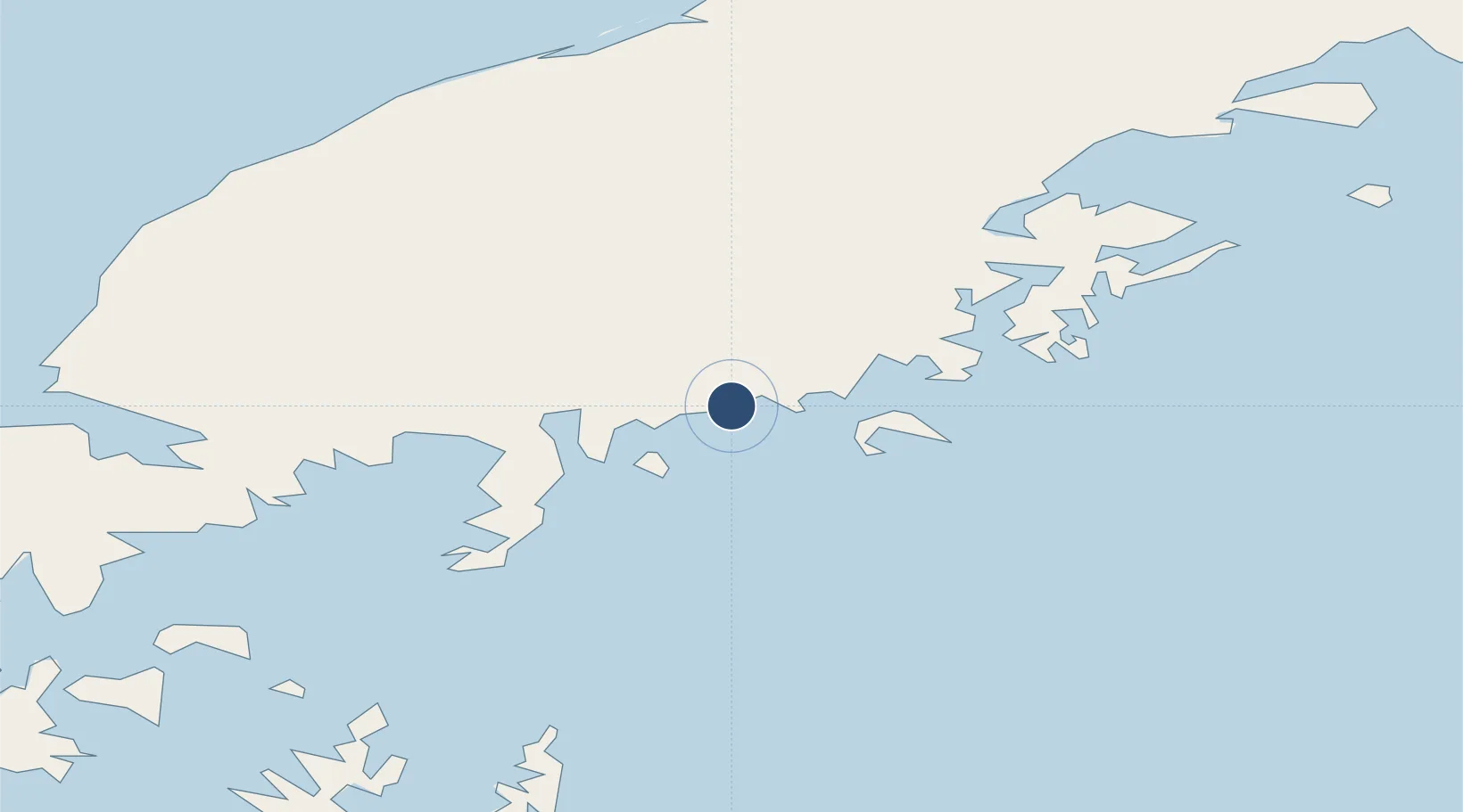
55.9065°, -159.1609°
3,300 ft
Longest runway
1
Runways
29 ft
Elevation
Runway & Layout

Runways · 1
| Runway | Dimensions | Surface | True heading | Lit |
|---|---|---|---|---|
| 02/20 | 3,300 × 75ft | GRVL-G | 035° | — |
Airport Specifications
IATA code
KPV
ICAO code
PAPE
Airport class
Small airport
Scheduled service
Yes
Runway surface
GRVL-G
Served city
Perryville
Location
Nearby Logistics Neighbours
Airports
- 1Chignik Lake Airport46 km
- 2Chignik Airport66 km
- 3Sand Point Airport108 km
- 4Port Heiden Airport121 km
- 5Nelson Lagoon Airport125 km
Cities
- 1Lenard Harbour223 km
- 2Kaguyak348 km
- 3Afognak452 km
- 4Dutch Harbor522 km
- 5Jakolof Bay601 km
Ports
- 1Ivanof Bay23 km
- 2Chignik64 km
- 3Port Moller88 km
- 4Sand Point107 km
- 5Port Heiden112 km
Trade Zones
- 1FTZ No. 232 Kodiak378 km
- 2FTZ No. 160 Anchorage799 km
- 3FTZ No. 108 Valdez941 km
- 4FTZ No. 195 Fairbanks1172 km
- 5PrInce George Logistics Park2311 km
DatabookThe Record of Consolidated Knowledge
United States beyond logistics?