Channel & Berth Profile
Pilotage, Tugs & Services
Pilotage availableYES
Shore powerYES
Potable waterYES
Diesel bunkersYES
MedicalYES
Garbage disposalNO
Facilities & Capabilities
Container—
Ro-Ro—
Liquid bulk—
Dry bulk—
Oil terminal—
Break bulk—
Dry dock—
Repairs—
BunkeringYES
Rail link—
Dangerous cargo—
ISPS security—
Harbour Specifications
Harbour size
Very Small
Harbour type
Coastal (Natural)
Shelter
Fair
Water body
Bering Sea; North Pacific Ocean
Tidal range
3 m
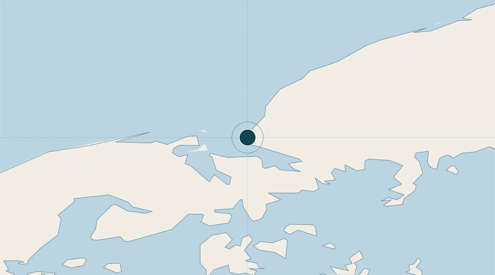
Location
Nearby Logistics Neighbours
Ports
- 1Ivanof Bay72 km
- 2Sand Point72 km
- 3Chignik139 km
- 4King Cove151 km
- 5Port Heiden152 km
Cities
- 1Lenard Harbour151 km
- 2Kaguyak428 km
- 3Dutch Harbor446 km
- 4Afognak523 km
- 5Jakolof Bay661 km
Airports
- 1Nelson Lagoon Airport37 km
- 2Sand Point Airport75 km
- 3Perryville Airport88 km
- 4Chignik Lake Airport115 km
- 5Chignik Airport141 km
Trade Zones
- 1FTZ No. 232 Kodiak452 km
- 2FTZ No. 160 Anchorage849 km
- 3FTZ No. 108 Valdez1000 km
- 4FTZ No. 195 Fairbanks1207 km
- 5PrInce George Logistics Park2395 km
DatabookThe Record of Consolidated Knowledge
United States beyond logistics?