Transport Functions
Rail
Road
Hub Profile
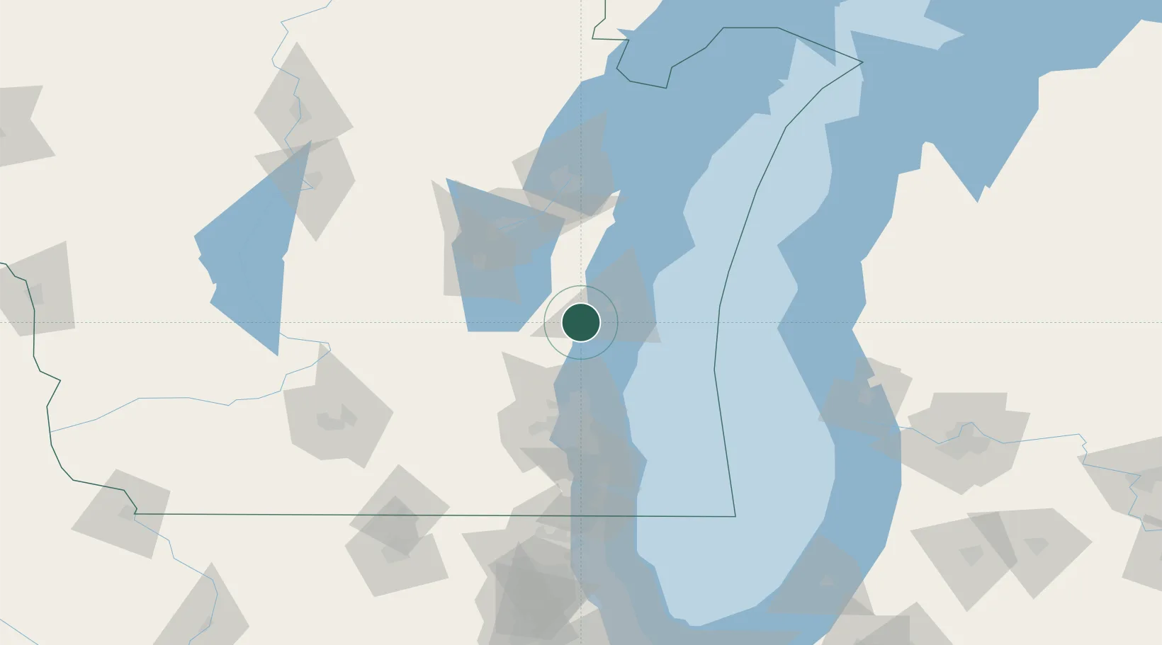
Place type
Populated place
Region
Wisconsin
Population
496
Time zone
America/Chicago
Elevation
260 m
Location
Nearby Logistics Neighbours
Cities
- 1Adell6 km
- 2Oostburg13 km
- 3Saint Cloud24 km
- 4Kiel27 km
- 5Saukville32 km
Ports
- 1Sheboygan22 km
- 2Port Washington32 km
- 3Manitowoc53 km
- 4Two Rivers62 km
- 5Milwaukee71 km
Airports
Trade Zones
- 1FTZ No. 041 Milwaukee69 km
- 2FTZ No. 167 Brown County92 km
- 3FTZ No. 019 Omaha105 km
- 4FTZ No. 189 Kent Ottawa/Muskegon Counties142 km
- 5FTZ No. 292 Lake County150 km
DatabookThe Record of Consolidated Knowledge
United States beyond logistics?