UN/LOCODE hub · United States
USOSU
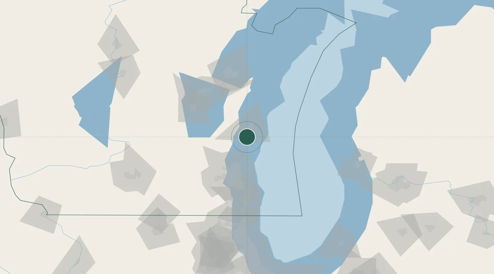
Oostburg
43.6167°, -87.8000°
2,964
Population
2
Transport functions
Transport Functions
Rail
Road
Hub Profile
Place type
Populated place
Region
Wisconsin
Population
2,964
Time zone
America/Chicago
Elevation
213 m
Location
Nearby Logistics Neighbours
Cities
- 1Adell12 km
- 2Waldo13 km
- 3Saukville29 km
- 4Kiel36 km
- 5Saint Cloud37 km
Ports
- 1Sheboygan17 km
- 2Port Washington27 km
- 3Manitowoc54 km
- 4Two Rivers62 km
- 5Milwaukee65 km
Airports
Trade Zones
- 1FTZ No. 041 Milwaukee67 km
- 2FTZ No. 019 Omaha92 km
- 3FTZ No. 167 Brown County102 km
- 4FTZ No. 189 Kent Ottawa/Muskegon Counties129 km
- 5FTZ No. 292 Lake County144 km
DatabookThe Record of Consolidated Knowledge
United States beyond logistics?