Transport Functions
Rail
Road
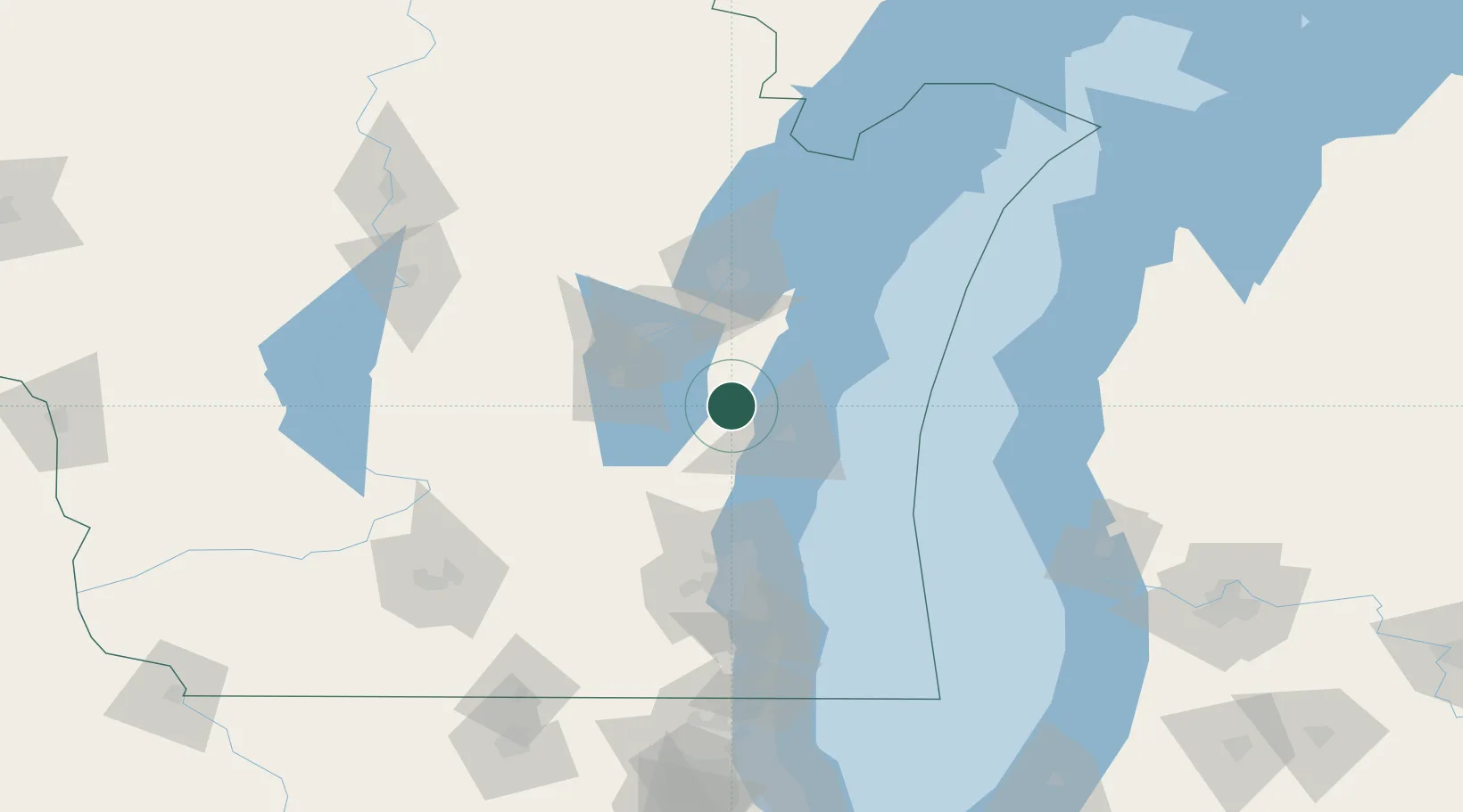
Hub Profile
Place type
Populated place
Region
Wisconsin
Population
3,719
Time zone
America/Chicago
Elevation
279 m
Location
Nearby Logistics Neighbours
Cities
- 1Saint Cloud15 km
- 2Valders21 km
- 3Waldo27 km
- 4Reedsville28 km
- 5Clover29 km
Ports
- 1Sheboygan30 km
- 2Manitowoc36 km
- 3Two Rivers46 km
- 4Kaukauna47 km
- 5Port Washington59 km
Airports
Trade Zones
- 1FTZ No. 167 Brown County66 km
- 2FTZ No. 041 Milwaukee94 km
- 3FTZ No. 019 Omaha122 km
- 4FTZ No. 189 Kent Ottawa/Muskegon Counties157 km
- 5FTZ No. 266 Dane County165 km
DatabookThe Record of Consolidated Knowledge
United States beyond logistics?