Transport Functions
Port
Road
Hub Profile
Place type
Populated place
Region
Wisconsin
Time zone
America/Chicago
Elevation
205 m
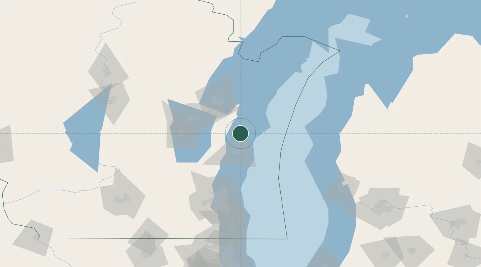
Location
Nearby Logistics Neighbours
Cities
- 1Branch12 km
- 2Valders15 km
- 3Reedsville24 km
- 4Kiel29 km
- 5Holland43 km
Ports
- 1Manitowoc8 km
- 2Two Rivers17 km
- 3Sheboygan32 km
- 4Kewaunee51 km
- 5Kaukauna53 km
Airports
Trade Zones
- 1FTZ No. 167 Brown County67 km
- 2FTZ No. 019 Omaha112 km
- 3FTZ No. 041 Milwaukee113 km
- 4FTZ No. 189 Kent Ottawa/Muskegon Counties144 km
- 5FTZ No. 292 Lake County191 km
DatabookThe Record of Consolidated Knowledge
United States beyond logistics?