Transport Functions
Port
Hub Profile
Place type
Urban district
Region
California
Time zone
America/Los_Angeles
Elevation
31 m
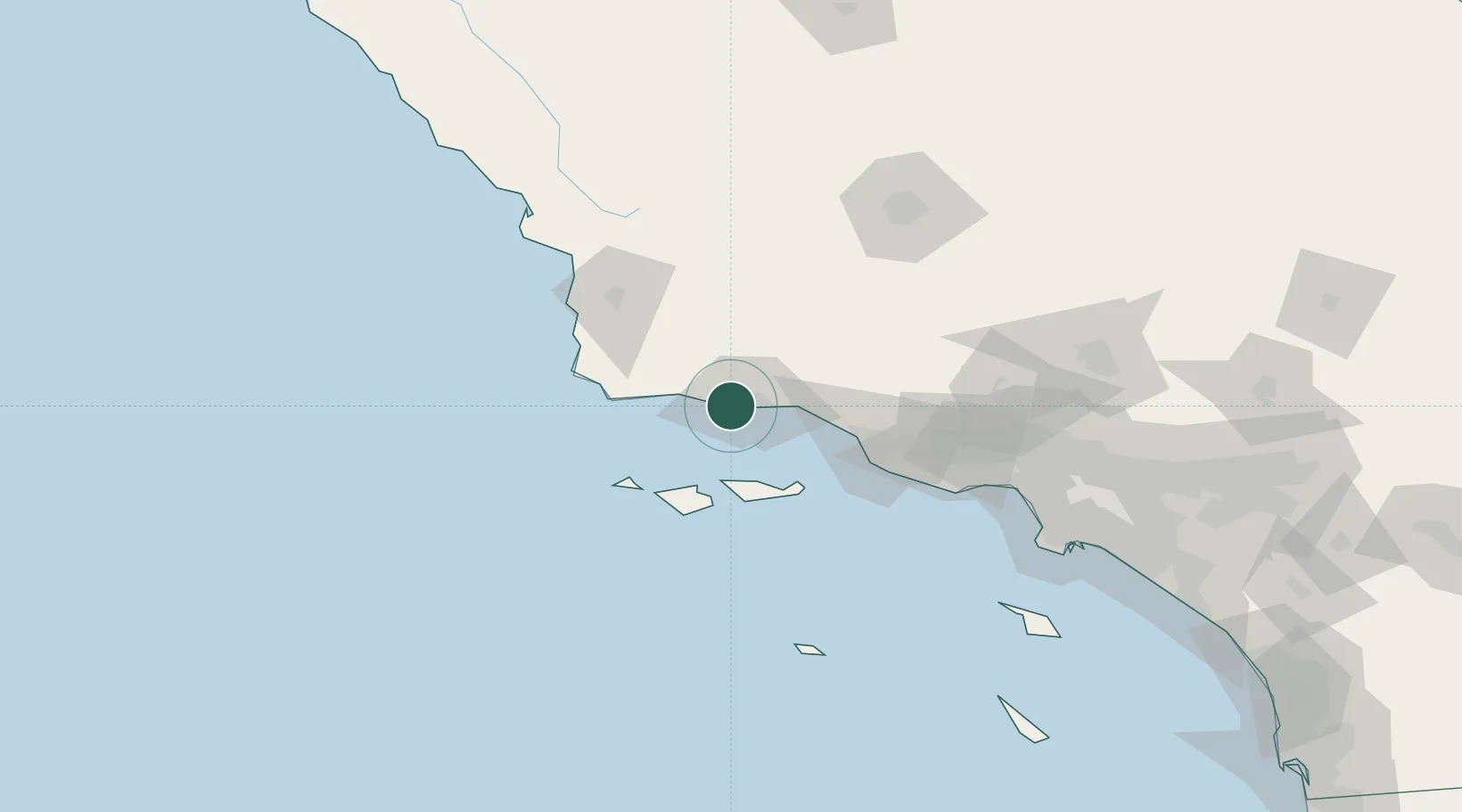
Location
Nearby Logistics Neighbours
Cities
- 1Elwood2 km
- 2Goleta5 km
- 3Capitan14 km
- 4Summerland26 km
- 5Los Alamos52 km
Ports
- 1Santa Barbara18 km
- 2Carpinteria34 km
- 3Ventura57 km
- 4Port Hueneme69 km
- 5Pismo Beach106 km
Airports
Trade Zones
- 1FTZ No. 205 Port Hueneme69 km
- 2FTZ No. 276 Kern County133 km
- 3FTZ No. 191 Palmdale163 km
- 4FTZ No. 202 Los Angeles166 km
- 5FTZ No. 050 Long Beach174 km
DatabookThe Record of Consolidated Knowledge
United States beyond logistics?