Transport Functions
Port
Rail
Road
Hub Profile
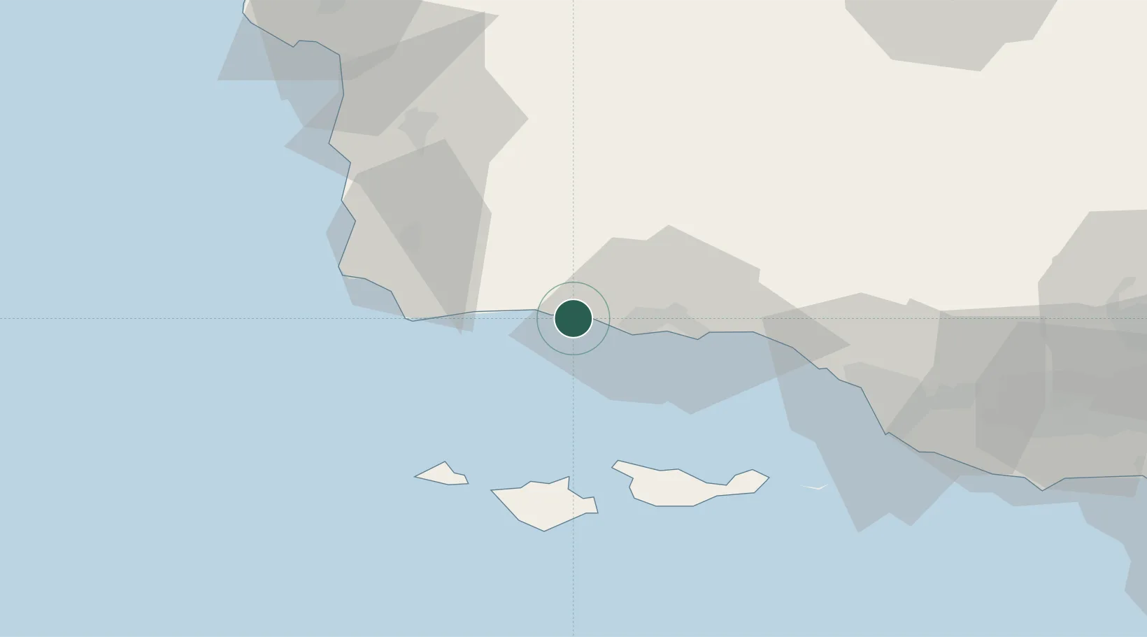
Place type
Populated place
Region
California
Time zone
America/Los_Angeles
Elevation
12 m
Location
Nearby Logistics Neighbours
Cities
- 1Elwood14 km
- 2Ellwood14 km
- 3Goleta18 km
- 4Point Conception40 km
- 5Summerland40 km
Ports
- 1Ellwood11 km
- 2Santa Barbara32 km
- 3Carpinteria48 km
- 4Ventura71 km
- 5Port Hueneme84 km
Airports
Trade Zones
- 1FTZ No. 205 Port Hueneme83 km
- 2FTZ No. 276 Kern County138 km
- 3FTZ No. 191 Palmdale176 km
- 4FTZ No. 202 Los Angeles180 km
- 5FTZ No. 050 Long Beach189 km
DatabookThe Record of Consolidated Knowledge
United States beyond logistics?