UN/LOCODE hub · United States
USRIC
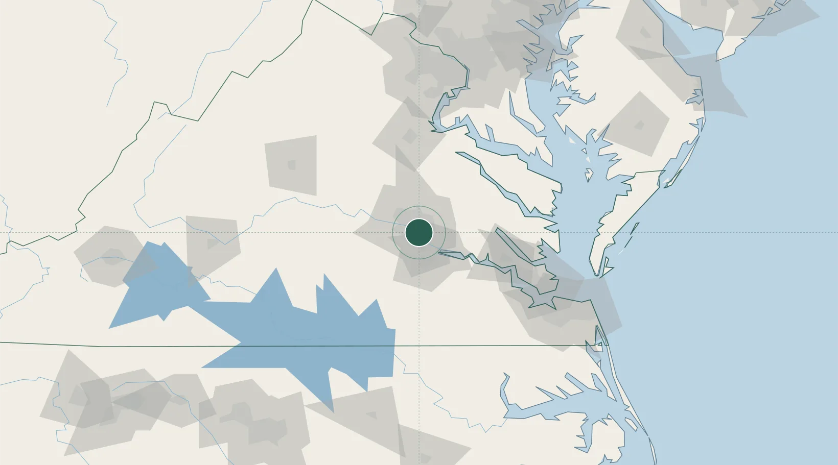
Richmond
37.4941°, -77.4368°
226,610
Population
3
Transport functions
Transport Functions
Port
Road
Airport
Hub Profile
Place type
Regional capital
Region
Virginia
Population
226,610
Time zone
America/New_York
Elevation
64 m
Logistics facilities
8
Location
Nearby Logistics Neighbours
Cities
- 1Charles City26 km
- 2Rockville32 km
- 3Manquin34 km
- 4Sutherland36 km
- 5Oilville38 km
Ports
- 1West Point56 km
- 2Yorktown88 km
- 3Fredericksburg90 km
- 4Newport News106 km
- 5Piney Point107 km
Airports
Trade Zones
DatabookThe Record of Consolidated Knowledge
United States beyond logistics?