Transport Functions
Port
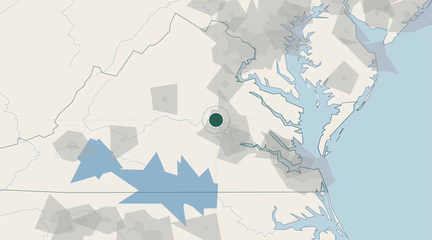
Hub Profile
Place type
Populated place
Region
Virginia
Time zone
America/New_York
Elevation
93 m
Location
Nearby Logistics Neighbours
Cities
- 1Oilville10 km
- 2Goochland19 km
- 3Maidens20 km
- 4Powhatan30 km
- 5Hadensville31 km
Ports
- 1Richmond30 km
- 2Fredericksburg68 km
- 3West Point79 km
- 4Piney Point110 km
- 5Yorktown116 km
Airports
Trade Zones
DatabookThe Record of Consolidated Knowledge
United States beyond logistics?