Medium airport · United States

Felker Army Air FieldKFAF
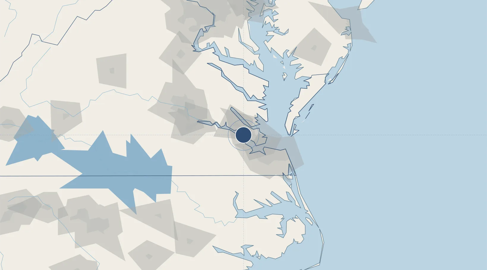
37.1325°, -76.6088°
3,025 ft
Longest runway
1
Runways
12 ft
Elevation

Runway & Layout

Felker Army Air Field runway & taxiway layout
Runway & taxiway layout — OpenStreetMap (ODbL) / OurAirports

Radio Frequencies

TWR
126.3 MHz
GND
121.35 MHz
CTAF
126.3 MHz
A/D
125.7 MHz
NORFOLK APP/DEP
OPS
134.1 MHz
BASE OPS
PMSV
134.1 MHz
PMSV METRO
OurAirports

Runways · 1

RunwayDimensions SurfaceTrue headingLit
14/32 3,025 × 75ft Asphalt 128°
OurAirports

Airport Specifications

IATA code
FAF
OurAirports
ICAO code
KFAF
OurAirports
Airport class
Medium airport
OurAirports
Scheduled service
No
OurAirports
Runway surface
Asphalt
OurAirports
Served city
Newport News (Fort Eustis)
OurAirports

Location

Location of KFAF
Natural Earth 10m (public domain) · Virginia · KFAF · 37.13, -76.61GoogleOSMYandex

Nearby Logistics Neighbours

Airports
  1. 1Newport News Williamsburg International Airport10 km
  2. 2Langley Air Force Base23 km
  3. 3Norfolk Naval Station (Chambers Field)36 km
  4. 4Norfolk International Airport45 km
  5. 5Oceana Naval Air Station62 km
Nearest neighbours — logibook spatial index (haversine) over the source coordinates
Cities
  1. 1Surry20 km
  2. 2Newmarket21 km
  3. 3Carrollton23 km
  4. 4Newport News23 km
  5. 5Hampton Roads Pt30 km
Nearest neighbours — logibook spatial index (haversine) over the source coordinates
Ports
  1. 1Yorktown15 km
  2. 2Newport News24 km
  3. 3Norfolk42 km
  4. 4Portsmouth45 km
  5. 5West Point48 km
Nearest neighbours — logibook spatial index (haversine) over the source coordinates
Trade Zones
  1. 1FTZ No. 020 Suffolk24 km
  2. 2FTZ No. 207 Richmond95 km
  3. 3FTZ No. 063 PrInce Georges County195 km
  4. 4FTZ No. 185 Culpeper County199 km
  5. 5FTZ No. 137 Washington Dulles International Airport216 km
Nearest neighbours — logibook spatial index (haversine) over the source coordinates
DatabookThe Record of Consolidated Knowledge
United States beyond logistics?
Browse databook

All Sources

AirportsOurAirports
Public domain
Portsthe NGA World Port Index
Public domain (US gov)
LocationsUN/LOCODE
UN/LOCODE — free
Trade Zonesthe World Bank SEZ database
CC BY 4.0
Trade ZonesOpen Zone Map
CC BY
InfrastructureOpenStreetMap
ODbL 1.0
← United States airports