Large airport · United States

Richmond International AirportKRIC
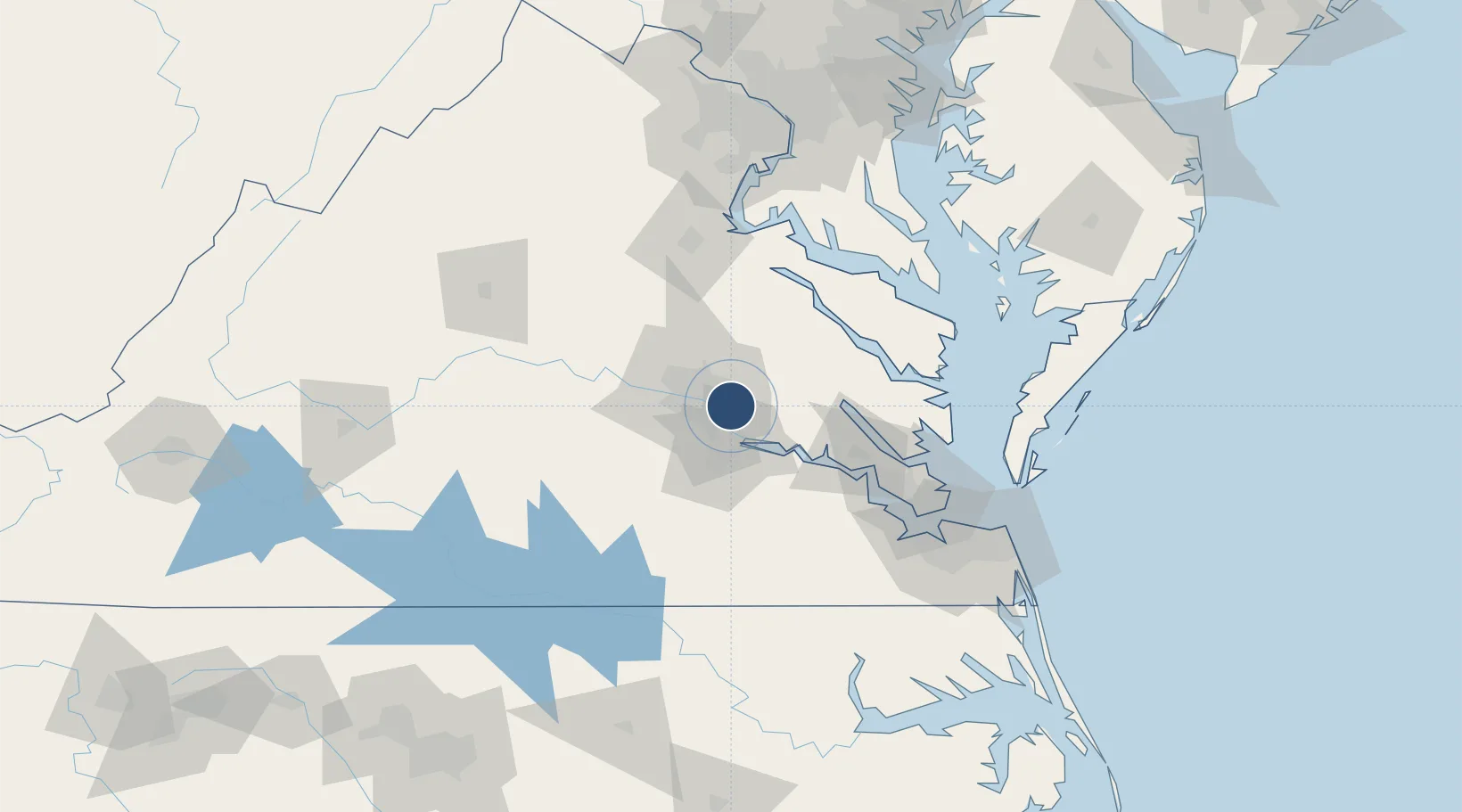
37.5052°, -77.3197°
9,003 ft
Longest runway
2
Runways
167 ft
Elevation

Runway & Layout

Richmond International Airport runway & taxiway layout
Runway & taxiway layout — OpenStreetMap (ODbL) / OurAirports

Radio Frequencies

ATIS
119.15 MHz
TWR
121.1 MHz
GND
121.9 MHz
CLD
127.55 MHz
CLNC DEL
A/D
118.2 MHz
POTOMAC APP/DEP
OPS
40.2 MHz
ARNG OPS
OPS
142.175 MHz
ANG OPS
RDO
122.2 MHz
LEESBURG RDO
UNIC
122.95 MHz
UNICOM
OurAirports

Navaids

RIC VORTAC Richmond 114.10 MHz
OurAirports

Runways · 2

RunwayDimensions SurfaceTrue headingLit
16/34 9,003 × 150ft Asphalt 148°
02/20 6,607 × 150ft Asphalt 013°
OurAirports

Airport Specifications

IATA code
RIC
OurAirports
ICAO code
KRIC
OurAirports
Airport class
Large airport
OurAirports
Scheduled service
Yes
OurAirports
Runway surface
Asphalt
OurAirports
Served city
Richmond
OurAirports

Location

Location of KRIC
Natural Earth 10m (public domain) · Virginia · KRIC · 37.51, -77.32GoogleOSMYandex

Nearby Logistics Neighbours

Airports
  1. 1Felker Army Air Field75 km
  2. 2Newport News Williamsburg International Airport84 km
  3. 3Langley Air Force Base97 km
  4. 4Quantico Marine Corps Airfield / Turner Field111 km
  5. 5Norfolk Naval Station (Chambers Field)111 km
Nearest neighbours — logibook spatial index (haversine) over the source coordinates
Cities
  1. 1Richmond10 km
  2. 2Charles City16 km
  3. 3Manquin26 km
  4. 4King William34 km
  5. 5Walkerton36 km
Nearest neighbours — logibook spatial index (haversine) over the source coordinates
Ports
  1. 1Richmond9 km
  2. 2West Point46 km
  3. 3Yorktown79 km
  4. 4Fredericksburg89 km
  5. 5Piney Point98 km
Nearest neighbours — logibook spatial index (haversine) over the source coordinates
Trade Zones
  1. 1FTZ No. 207 Richmond22 km
  2. 2FTZ No. 020 Suffolk92 km
  3. 3FTZ No. 185 Culpeper County129 km
  4. 4FTZ No. 063 PrInce Georges County148 km
  5. 5FTZ No. 137 Washington Dulles International Airport162 km
Nearest neighbours — logibook spatial index (haversine) over the source coordinates
DatabookThe Record of Consolidated Knowledge
United States beyond logistics?
Browse databook

All Sources

AirportsOurAirports
Public domain
Portsthe NGA World Port Index
Public domain (US gov)
LocationsUN/LOCODE
UN/LOCODE — free
Trade Zonesthe World Bank SEZ database
CC BY 4.0
Trade ZonesOpen Zone Map
CC BY
InfrastructureOpenStreetMap
ODbL 1.0
← United States airports